The Kashmir Great Lakes (KGL) trek is widely regarded as one of India’s most spectacular high-altitude circuits. Rolling alpine meadows, jagged granite ridges, and a string of emerald and turquoise lakes make this route feel like walking through a painter’s brightest palette. Great Lakes of Kashmir is a classic 7–9 day trek that usually takes trekkers from Sonamarg to the Naranag valley (or the reverse), crossing several high passes and visiting lakes such as Vishansar, Krishansar, Gadsar, Satsar and Gangabal.
This guide covers the route, daily plan, difficulty, best season, permits and safety, gear, food and packing, acclimatisation and practical tips so you can plan and enjoy the Kashmir Great Lakes trek with confidence.

Quick facts:
- Typical duration: 7–9 days (6–8 days of trekking).
- Typical distance: ~65–75 km depending on start/end points and exact route.
- Maximum altitude encountered: ~4,200–4,300 m (Gadsar / Nichnai passes). Most camps lie between 3,500–3,900 m.
- Difficulty: Moderate to difficult (long days and 1–2 steep passes; not technical but physically demanding).
- Best months: Late June to early September (peak July–August).
Why the Great Lakes trek is special:
What sets KGL apart is the variety compressed into a single circuit. In a week you move from thick forest and pastoral Sonamarg meadows to barren moraines and dramatic glacial basins. Each lake has its own character — Vishansar’s wide shallow shores, Krishansar’s twin lake views, the dramatic bowl around Gadsar and the grand Gangabal beneath steep cliffs. The landscape changes day by day, making every campsite feel like a new world. Many trekkers call it a once-in-a-lifetime trek for the views alone.
7-day itinerary of Kashmir Great Lakes Trek:
This is a standard itinerary many operators and independent trekkers follow. Distances and times vary by pace and route choice.
Day 1: Srinagar to Sonamarg
Arrive in Srinagar and drive (~2–3 hours) to Sonamarg. Final gear checks, stay in a guesthouse or camp at Sonamarg (2,700–2,800 m).
Day 2: Sonamarg to Nichnai (~10–12 km, 6–8 hrs)
The trail climbs out of Sonamarg through meadows, forests and the Shekdur stretch before arriving at the high pasture of Nichnai (~3,500 m). There may be an army checkpost where ID is required.
Day 3: Nichnai to Vishansar Lake (~10–14 km, 5–7 hrs)
Cross the Nichnai pass (often ~4,100–4,150 m depending on route), then descend and reach Vishansar lake (~3,650 m). A spectacular first high-altitude lake.
Day 4: Vishansar to Gadsar (via Gadsar Pass) (~16 km, 6–8 hrs)
A long but rewarding day: ascent to Gadsar Pass (~4,200 m) and then a descent to the turquoise Gadsar Lake. Gadsar is in a sharp amphitheatre of cliffs and often has ice in early season.
Day 5: Gadsar to Satsar (~11–12 km, 4–6 hrs)
Cross rolling meadows and reach the Satsar lakes — a cluster of multiple small lakes — with scenic campsites.
Day 6 : Satsar to Gangabal (via Zaj or other pass) (~9–12 km, 5–7 hrs)
Cross the pass (sometimes called Zaj or another local saddle) into the Gangabal basin and camp by Gangabal Lake below Mount Harmukh. Gangabal is one of the most dramatic high-altitude lakes in Kashmir.
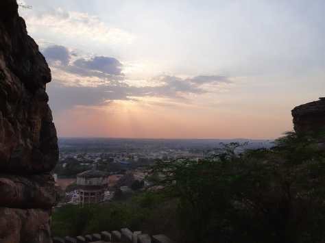
Day 7: Gangabal to Naranag / Thajiwas valley (~10–14 km)
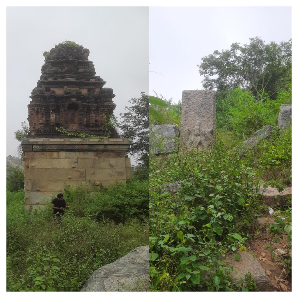
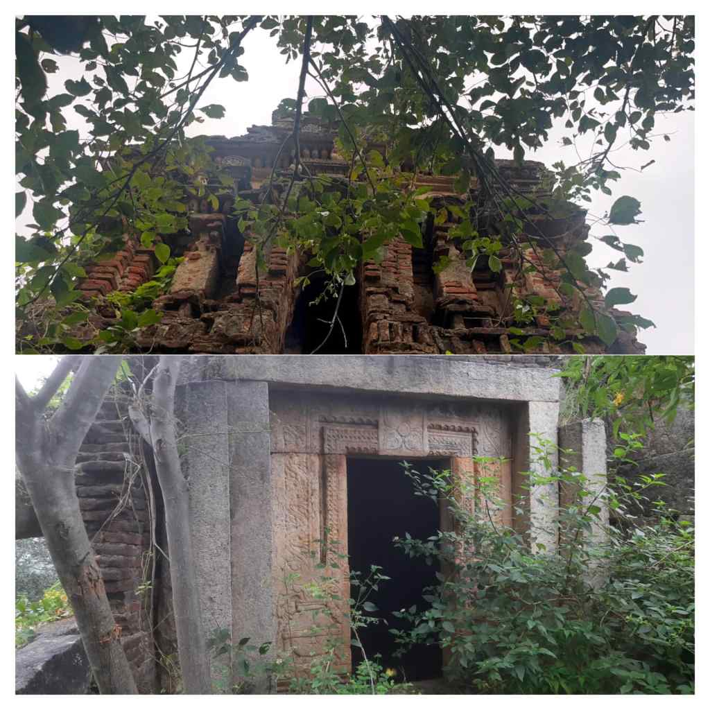
Descend to Naranag, meet transport and drive back to Srinagar. Naranag has historical temple ruins and is a popular exit point.
Note: Many operators add a buffer day for weather, or extend to 8–9 days to allow lighter daily distances and better acclimatisation.
Difficulty, fitness and acclimatisation
Kashmir Great Lakes Trek is not a technical climb since you won’t need ropes or glacier travel skills on the usual route but it is a sustained high-altitude Kashmir Trek with long ascents and descents. Expect:
- Daily walking of 5–8 hours on varied terrain.
- Two or three high passes around 4,000–4,250 m (steep sections, loose scree on approaches).
- Nights at 3,500–3,900 m, so altitude symptoms are possible.
Fitness prep: a few weeks of aerobic conditioning (brisk walking, stair climbing, light trail runs) and weekend hikes will help. If you’re new to high altitude, allow an extra acclimatisation day (e.g., at Nichnai or a day in Sonamarg), many guided trek agencies like Cliffhangers India include one buffer day in their itinerary.
Weather and best time
The trek is seasonal because snow blocks the high passes for much of the year. Late June to early September is the practical window: the snow melts, meadows bloom and passes are mostly passable. July–August are peak months. Trails are busiest then and weather is most stable; monsoon influence is limited compared with the lower Himalaya but occasional storms and afternoon rain/snow at high altitudes can occur. Early June may still have heavy snow; September can be cold with early snowfall. Plan accordingly.
Permits, safety and local rules
- Army or local checkposts are common near Sonamarg; keep valid photo ID (Aadhaar/passport/driving licence) handy for checks. Some itineraries require village levies or fees, your operator will handle.
- Guided groups: using a local, licensed operator with experienced guides is strongly recommended if you’re new to Himalayan trekking. Operators provide tents, meals, porters/ponies and local knowledge of passes and weather patterns.
- Altitude sickness: know the symptoms (headache, nausea, dizziness, reduced performance). Don’t push through progressive symptoms, descend immediately and seek medical help. Carry a basic first-aid kit and consider medications like acetazolamide only after consulting a doctor.
Food, water and camps:
- Operators provide 3 meals a day (simple, high-calorie trekking food). If self-supported, carry freeze-dried meals or easy staples (oats, pasta, nuts, energy bars).
- Water: treat with chlorine tablets, purification drops or boil. Streams flowing from glaciers look clean but carry microscopic risks. Carry a 2–3 litre hydration setup; water points are frequent near lakes and streams.
- Campsites are grassy meadows (pack down if wet); expect cold nights and sleeping bags rated to at least -5°C to -10°C recommended for safety and comfort.
Gears and essentials to carry
- Sturdy trekking shoes/boots (broken in).
- Waterproof shell jacket + insulated midlayer (down or synthetic).
- Trekking pants, base layers (thermal if early/late season).
- Hat, gloves (warm, windproof), sunhat.
- Sleeping bag (rated to –5°C or lower).
- SPF, sunglasses (high UV at altitude), lip balm.
- Trekking poles (hugely helpful on steep descents).
- Headlamp, spare batteries.
- Water purification method and 1–2 litre bottles or bladder.
- Light stove if self-cooking (or plan with operator food).
- Basic medicines, blister kit, altitude info card.
- ID and photocopies.
Responsible Trekking during Kashmir Great Lakes Trek:
The region is home to mountain fauna (pheasants, marmots, ibex at very high altitudes, and sometimes brown bears in the lower forests).
Respect local wildlife, don’t feed animals, keep a safe distance, and store food properly.
The fragile alpine meadows recover slowly from damage, so follow Leave-No-Trace principles: carry out all plastics, avoid cutting vegetation, use designated campsites and follow toilet protocols (bury waste away from water sources or pack out).
Local communities and park authorities also emphasise low-impact travel.
A quick glance on difference between guided trekking vs independent trekking
- Guided trek: expect a price range depending on services, basic group treks are cheaper; private departures cost more. Pricing covers transport from Srinagar, tents, cooks, ponies/porters, permits and guide fees. Booking through reputable local agencies ensures safety infrastructure.
- Independent: possible for experienced trekkers who can source local ponies and cooks, but permits, navigation and emergency response are more your responsibility. For first-timers, a guided trek is the safer, simpler option.
Photography and best viewpoints
- Gadsar Pass and Gadsar Lake — dramatic bowl views, turquoise water and cirques: one of the most photogenic spots on the trek.
- Vishansar and Krishansar — approach views from the pass reveal twin lakes and meadows.
- Gangabal below Harmukh — large alpine basin with sheer cliffs and reflective water — great for sunrise and sunset photos.
Bring a polarising filter if you shoot and protect gear from sudden drizzle or dust.
Tips to improve your experience of Kashmir Great Lakes Trek
- Pace yourself — better to arrive fresh at camp than collapsed; shorter, steadier steps up and down help.
- Hydrate and snack — dehydration hides behind fatigue; sip water constantly and eat salty snacks to keep electrolytes.
- Early starts — weather is most stable in the morning and you avoid afternoon wind or cloud.
- Practice with poles — they save knees on long descents and steady you on screen.
- Respect local advice — guides know micro-weather patterns and which days are risky for passes.
Final checklist:
- Check weather and pass conditions with your operator 48–24 hrs before start.
- Confirm transport and meeting points in Srinagar/Sonamarg.
- Carry sufficient cash (ATMs are not available en route).
- Make a small emergency plan: share your itinerary with someone and ensure you know how to contact your operator or local authorities.
- Pack exactly what you’ll need — light but complete.
Conclusion:
The Kashmir Great Lakes trek is not the easiest Himalayan circuit, but with good preparation it is one of the most rewarding. Whether you go with a trusted local operator or plan a careful independent trip, respect the mountain, pace yourself, and soak in the views , the lakes will repay every step.
Beyond the physical challenge, KGL rewards with a sense of wonder: silent mornings by glassy lakes, wildflowers in meadows, the crunch of alpine gravel underfoot and nights under impossibly bright stars. It’s a trek that changes how many people think about scale and stillness, a lasting memory rather than just a checklist. Expect to return quieter, tired and richer in stories.