Britishers chose beautiful and yet strategic places across India to create their summer and recreational destinations, mostly hill-stations. Needless to mention that despite the colonial rule ending seventy-five years ago, their influence in our culture has been inseparable. One aspect of these cultural influences is the slow lifestyle of the people in these hill stations and bungalows nestled amid large plantations. When the British vacated the Indian hill stations, they also left behind all the automobiles, machinery and equipment used in their plantations and factories. With that, a legacy of four-wheel drive vehicles as well.
The Date:
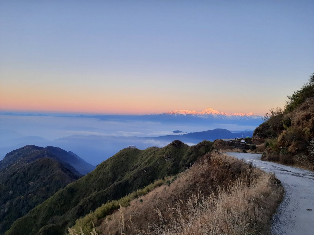
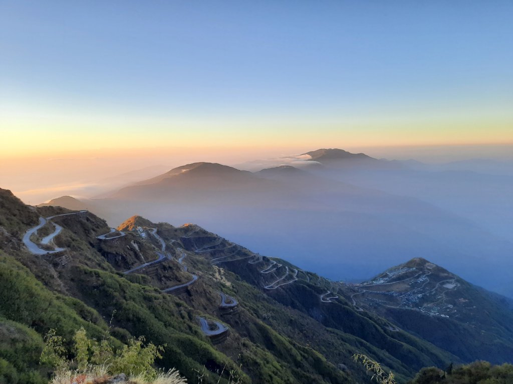
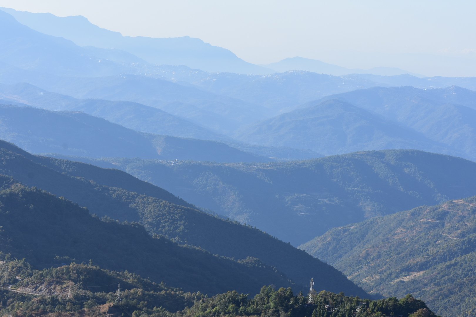
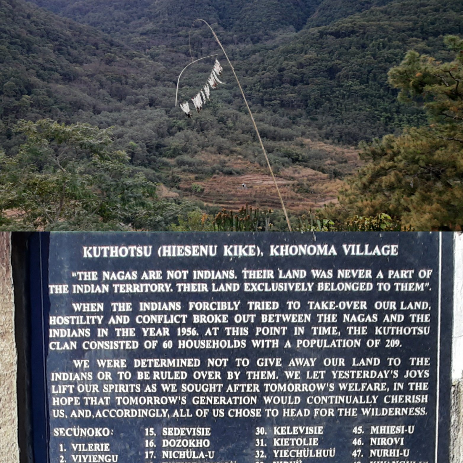
When I planned a trip around North-east India in 2021, I had included an ascent to Sandakphu-Phalut, a small settlement in northern-most part of West-Bengal on the Indo-Nepal border. I wanted to see the ‘Sleeping Buddha’ at sunrise. The sleeping Buddha is a series of mountain peaks in the Himalayas including Kanchenjunga, Kumbakarna and others collectively appearing like the Lord Buddha resting in the horizon, over whom a golden shade is cast during sunrise. Trekking enthusiasts opt to walk through the Singalila National Park, a week-long trek to reach Sandakphu and Phalut.
But I (along with my brother and friends) planned to summit the trail by road. Not that I was less adventurous or lazy to walk, but I felt that my adrenaline rushed a little more at the thought of being driven on a four-wheel drive vehicle. ‘Why so?’, you may ask.
I am a kid who was born and raised in the south-western hills of Madikeri. ‘So, what?’, one might think. Madikeri, in Kodagu is where the Britishers have played an influential role in raising a culture of using and loving our four-wheeled drive vehicles. The jeeps from the Mahindra stables are like family for the people of the coffee hills. Be it the Willys, left-hand-drives, petrol engines and all that followed, you will find them all in shining spec and ruling the roads of Kodagu. This natural affinity for automobiles in my genes and the nature of my profession that lets me earn my daily bread (I’m an automobile engineer by profession), I don’t think my choice of transport needs further elaboration. So, for me the thought of a drive in the north-eastern hills exuded more thrill than trekking through the woods.
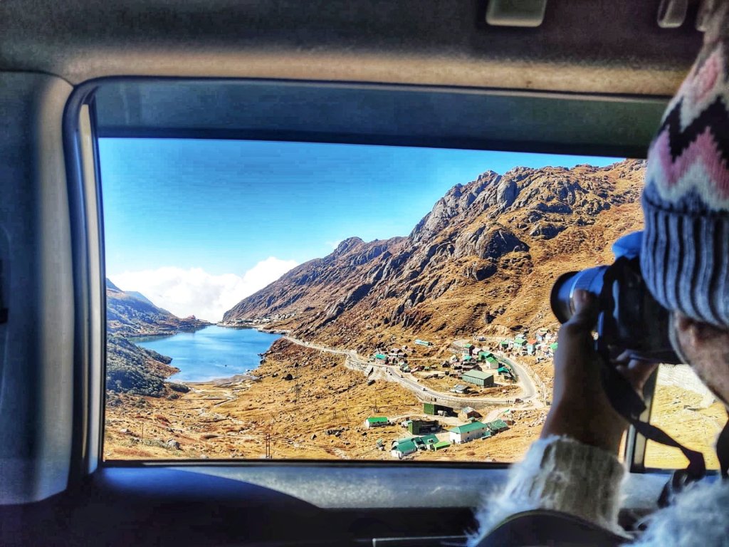
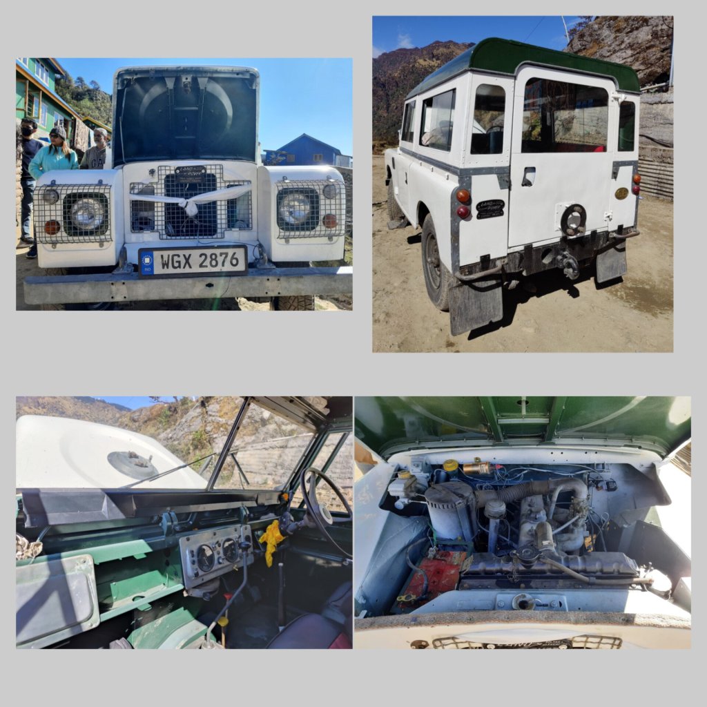
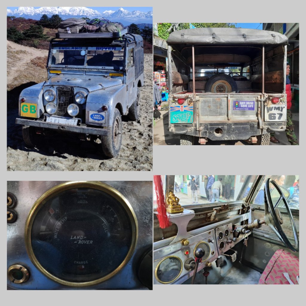
The vehicle here in discussion is a vintage ‘Land rover Defender’ that is at the least, as old as the Indian Independence! Maneybanjang is a small town that serves as a base for the Sandakphu trek. But it has gained the moniker ‘the Land of Land rovers’ for it is home to over 40 vintage Land-rover Defenders. These vehicles were used by the British to tame the unpaved terrain of the tea plantations at nearby Darjeeling and surrounding hills and were left behind when they left India for good. These vehicles are now the proud possessions of individuals living in this village who have now formed a ‘Land-rover owners’ association’ from whom rides can be hired by travelers who want to see the sleeping Buddha.
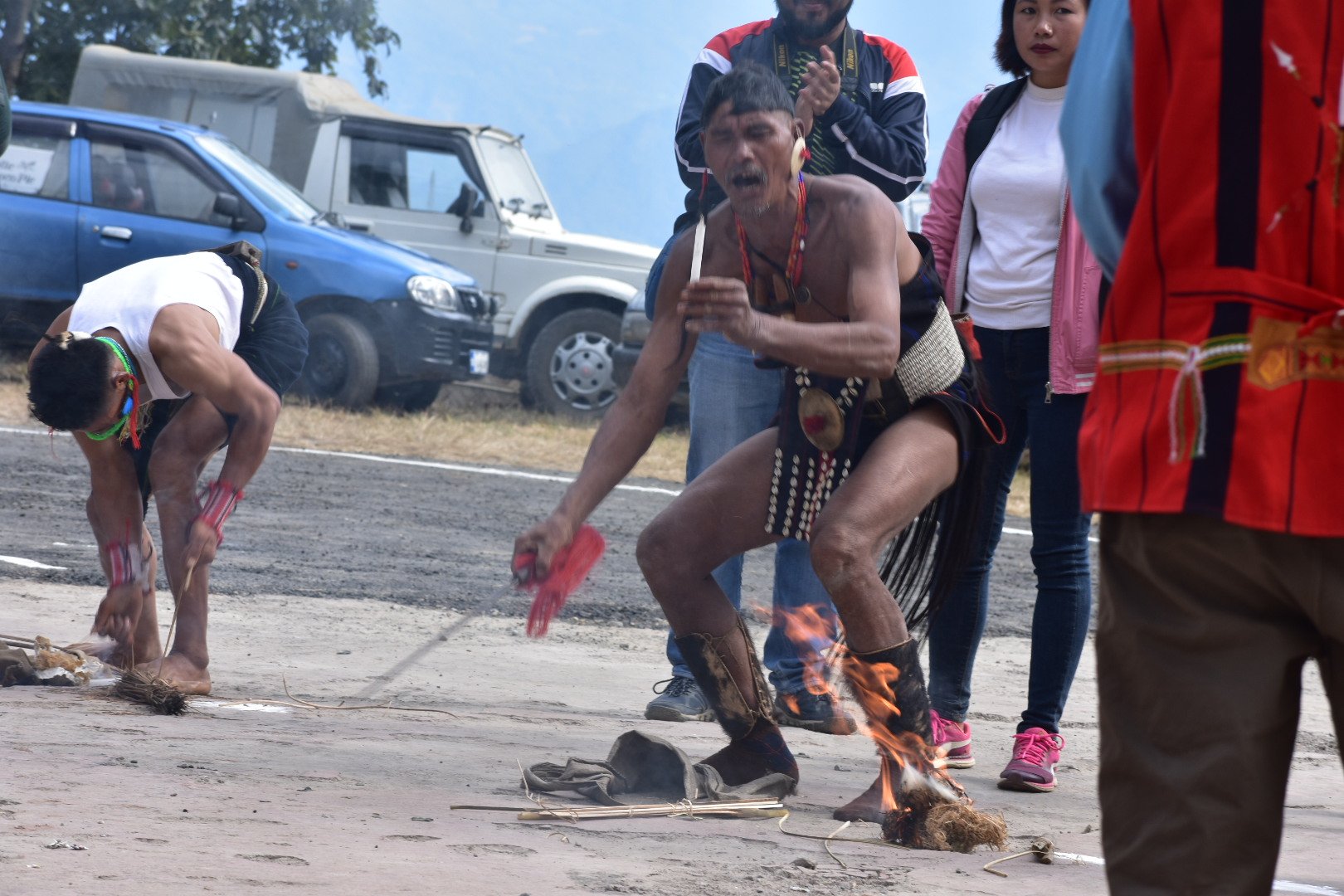
For someone from Madikeri who found an instant connection with Maneybanjang, it was like a love-story between coffee and tea. It was a meeting of the grasslands of Western Ghats with the snow-clad peaks of the Himalayas. As it was the last day of Deepawali on the day of our arrival at Maneybanjang, we also witnessed the local culture of how Deepawali was celebrated in that part of the world. With a mixed influence of Hinduism and Buddhism, the Indian and Nepali, the Gorkha and the Bengali cultures, it was indeed a unique experience. The localites form groups and go from house to house all night singing, dancing, and spreading joy, much like carol singing. That night, we too joined them during our stay and immersed ourselves in the local culture.
The Journey:
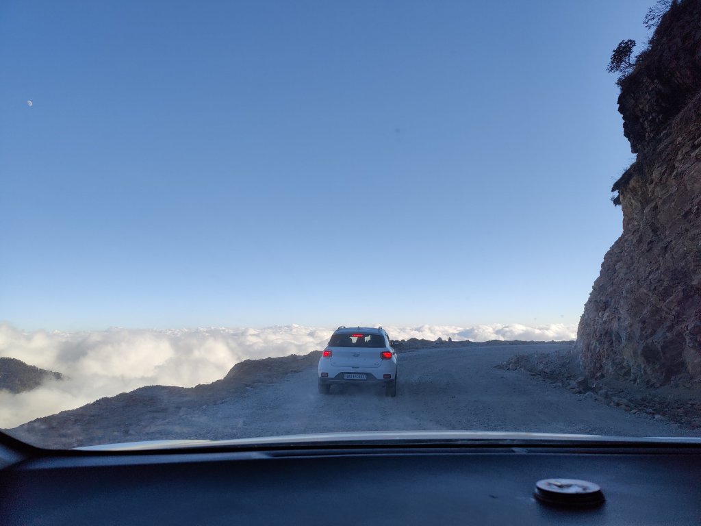
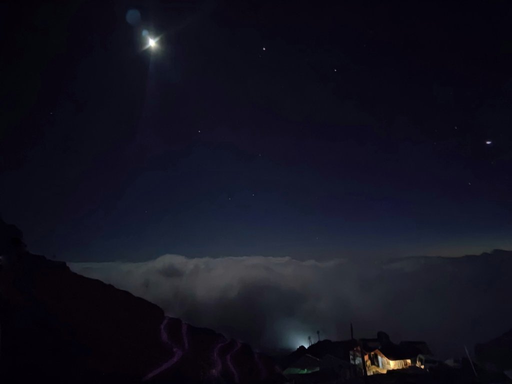
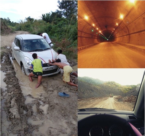
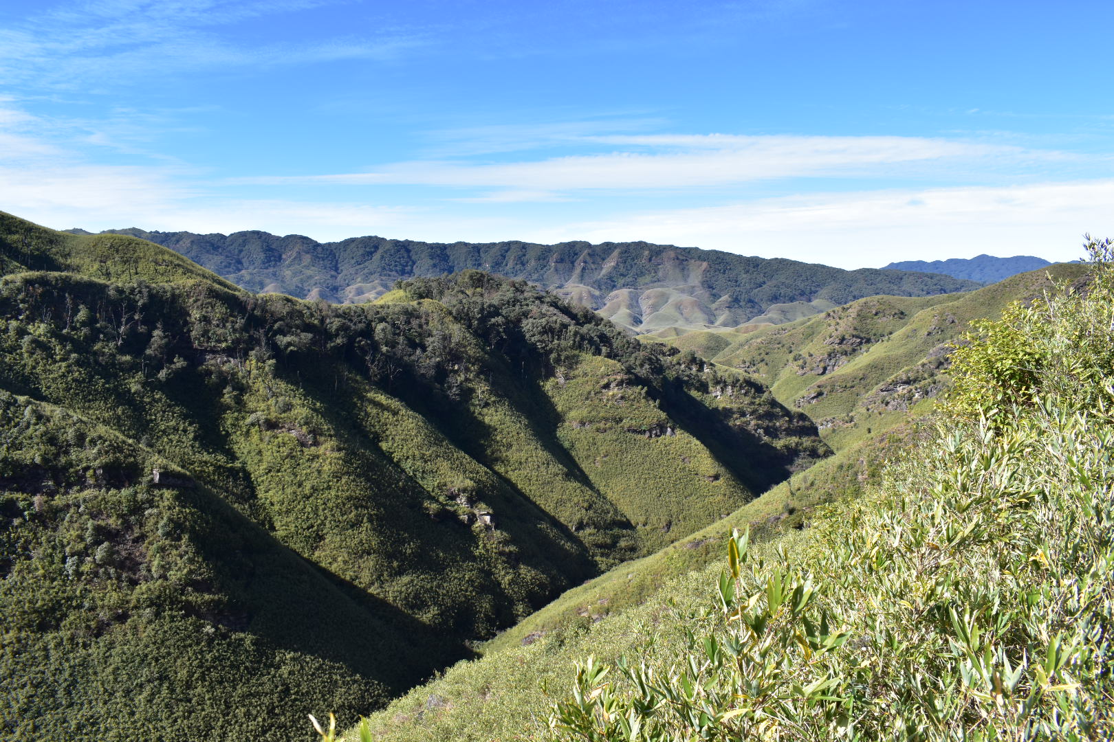
On the following morning, we started our journey from Maneybanjang around 08.00.a.m. in the morning and stopped at several villages, check posts, viewpoints until we reached the homestay at Sandakphu by evening. We tried local cuisine, yak cheese, fresh brews, and aged fruit wines along our way. We hiked around to get to the nearest sunset-point, even though the fog had engulfed the entire atmosphere. We cooked noodles with the locals in their kitchens and grooved to their native music before calling it a day.
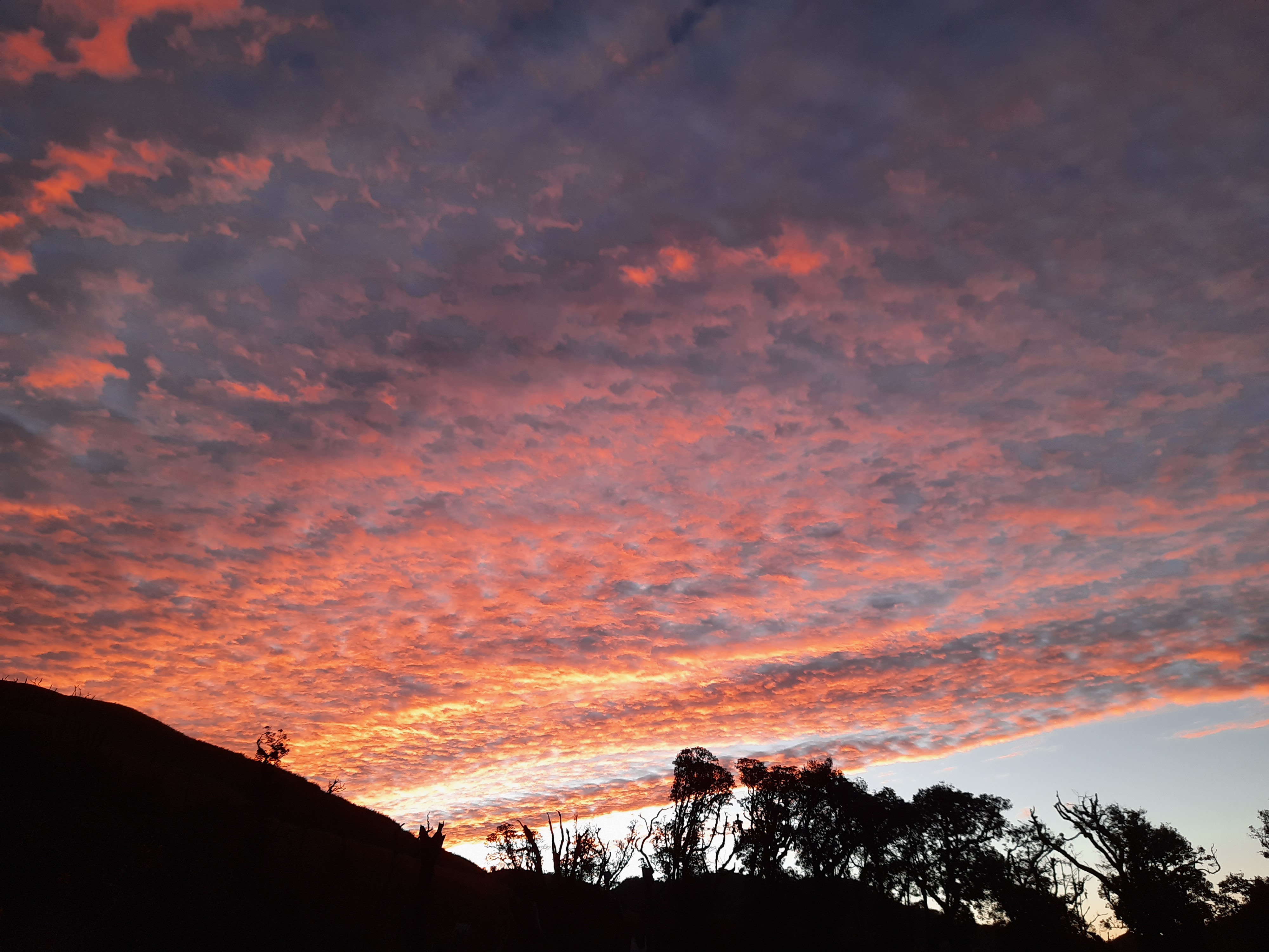
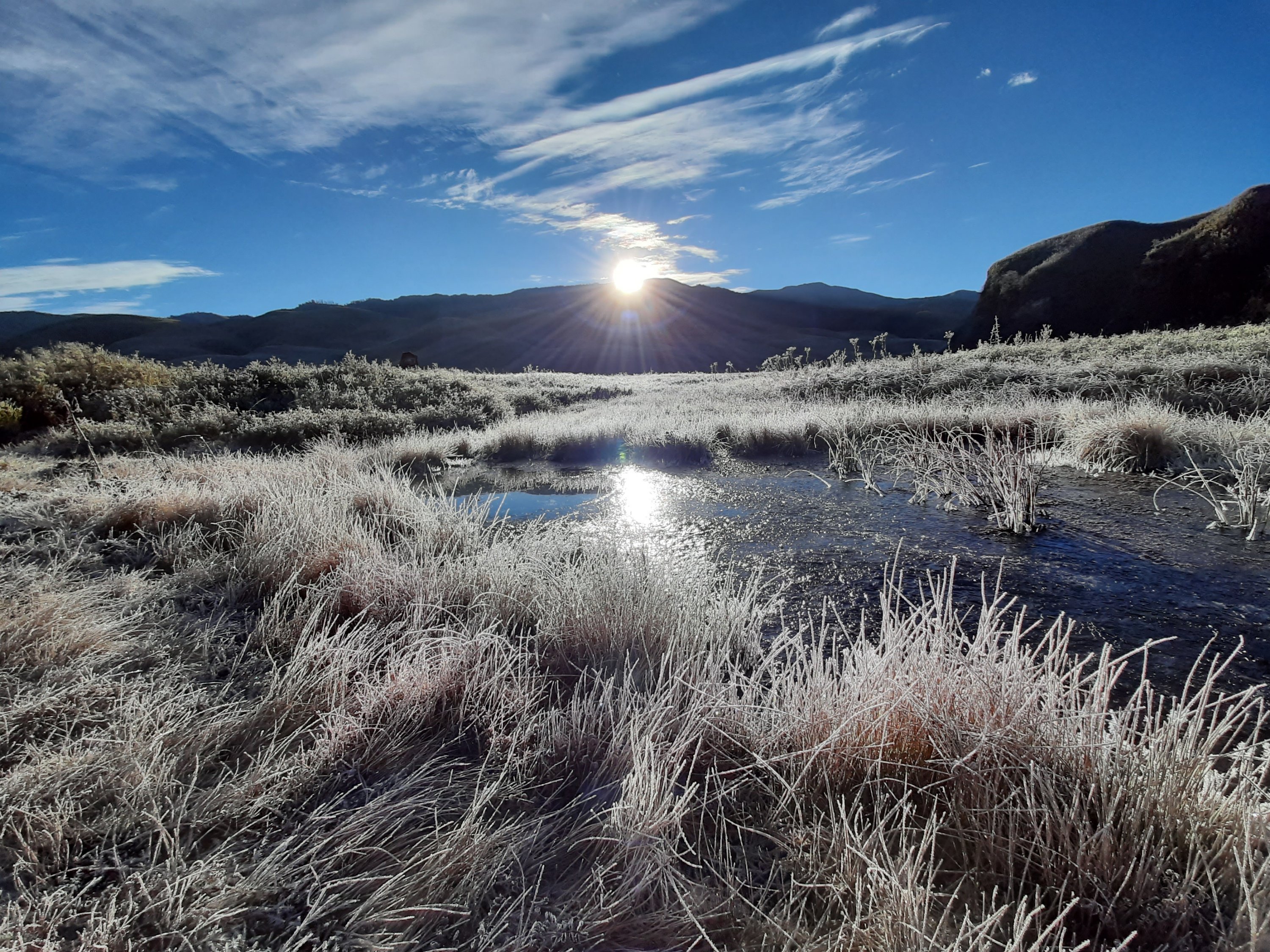
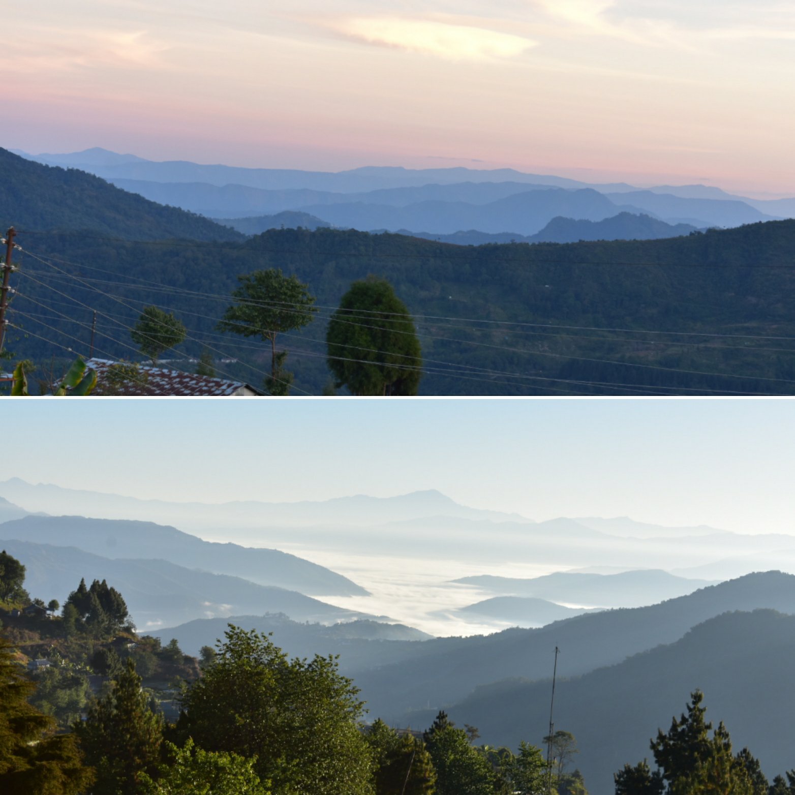
On the following morning, we woke up as early as 04.00a.m. to climb up a small, elevated point from where we would get a wholesome 360degree view of the rising sun and the sleeping Buddha. We were chattering and shivering in the freezing cold as thin sheets of ice were crackling under our feet. But when the sun started to come out, the few minutes of spectacle was simple breathtaking.
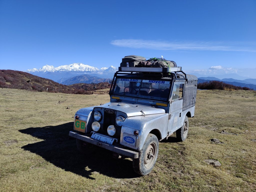
Post breakfast, we drove up to Phalut, walked around the place and planned our descent. Not without taking a lot of photos with the machine we have travelled on thus far. It was early evening when we finally made it back to Maneybanjang, thus ending our date with the ‘Defenders’. It was a bittersweet moment as we had to leave each other’s company. Sweet for the drive, the vistas, and the thrill; Bitter for having to depart without knowing when we would be back again.
We hired a local taxi to proceed towards our next destination- Gangtok, for the night.