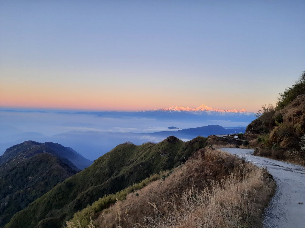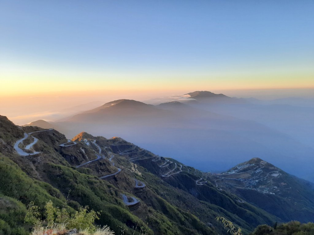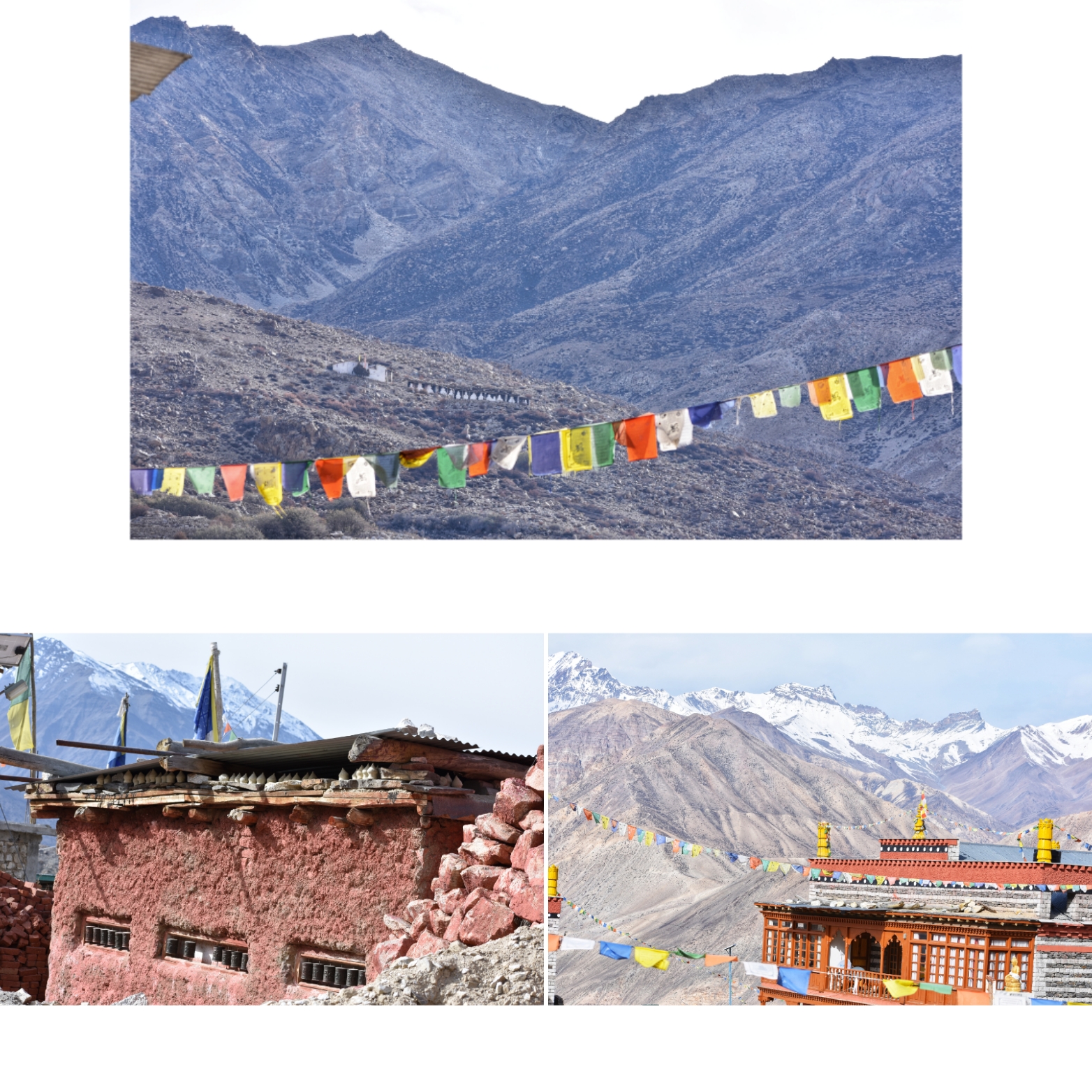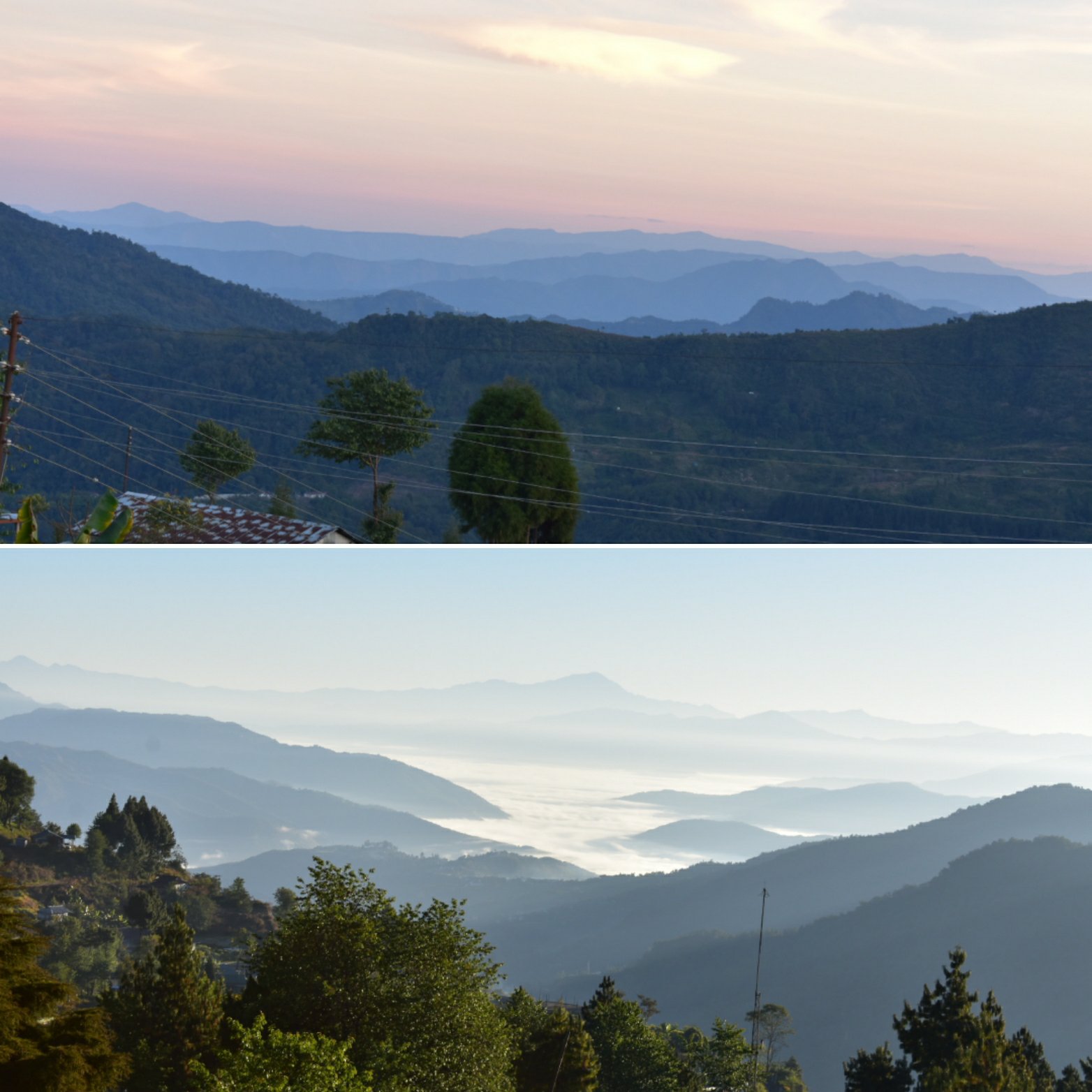
Imagine waking up to the sun rising over 8,000m Himalayan giants, the crisp mountain air filling your lungs, and trails that wind through vibrant rhododendron forests, terraced villages, and sparkling rivers. This is not just a trek—it’s a life-changing journey.
Welcome to Annapurna Base Camp (ABC) and the legendary Annapurna Circuit, where every step promises adventure, romance, culture, and breathtaking natural beauty.
—
Who Should Trek Annapurna?
The Annapurna region is magical for everyone, but especially:
1. Couples Seeking Romance:
- Walk hand-in-hand along trails with panoramic views of Machapuchare (“Fishtail Mountain”)
- Cozy teahouses in Ghorepani or Chhomrong make for perfect quiet nights
- Sunrise at Poon Hill – a memory that lasts a lifetime
2. Adventure Seekers:
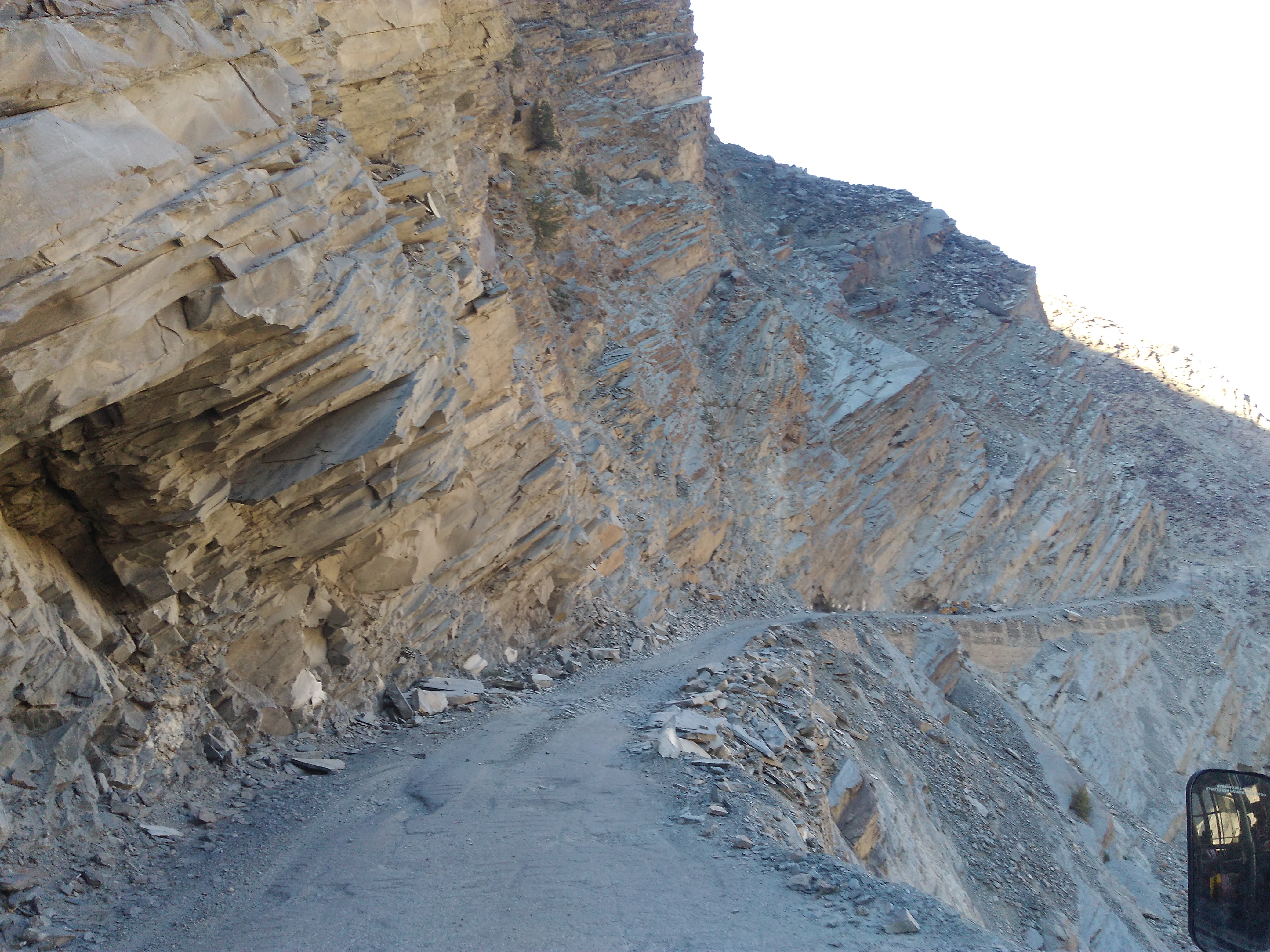
- Cross the legendary Thorong La Pass at 5,416m
- Trek through glacial rivers, high-altitude deserts, and lush subtropical valleys
- Multiple trail options like Tilicho Lake or Nar Phu Valley for hardcore explorers
3. Cultural Enthusiasts & Food Lovers:
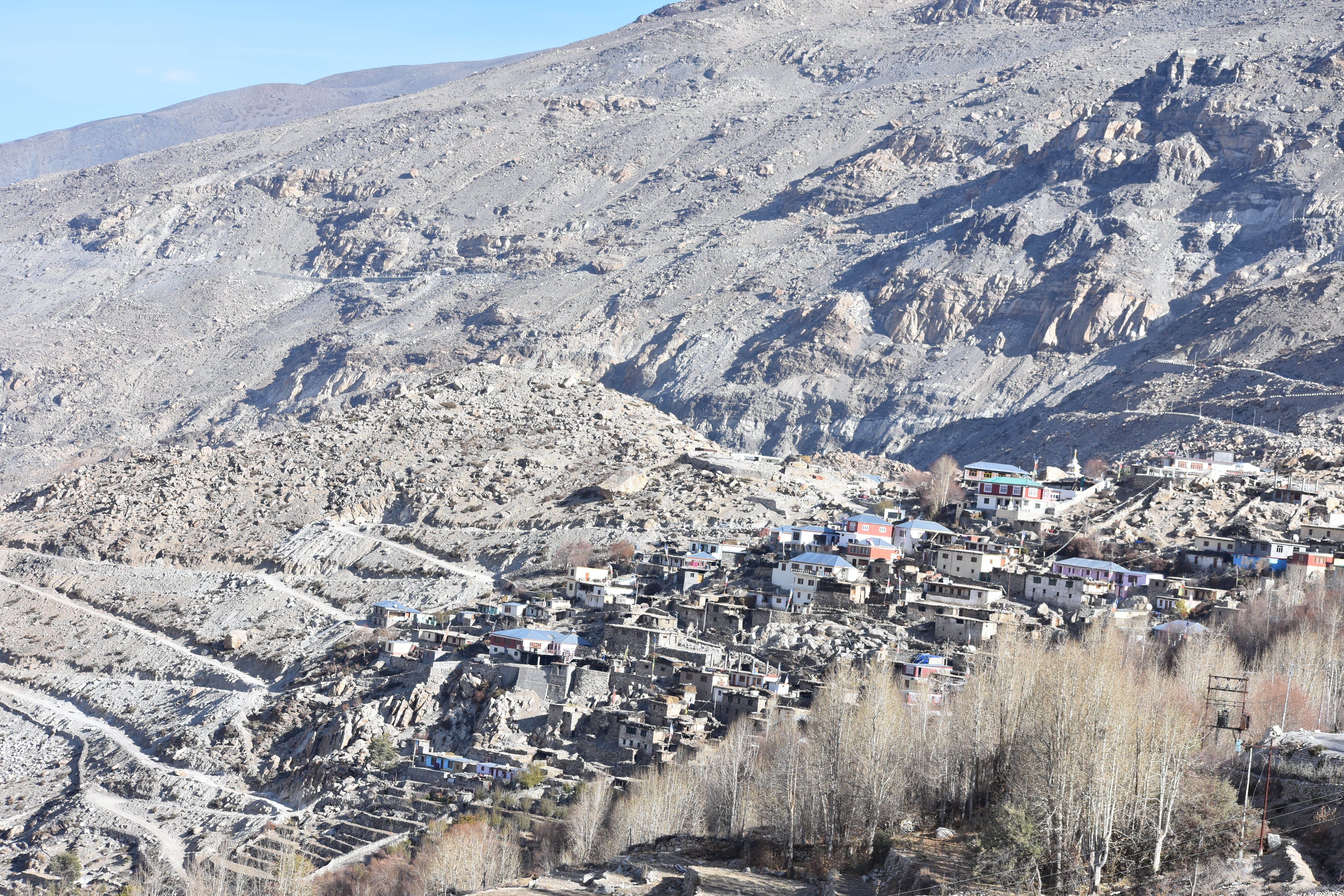
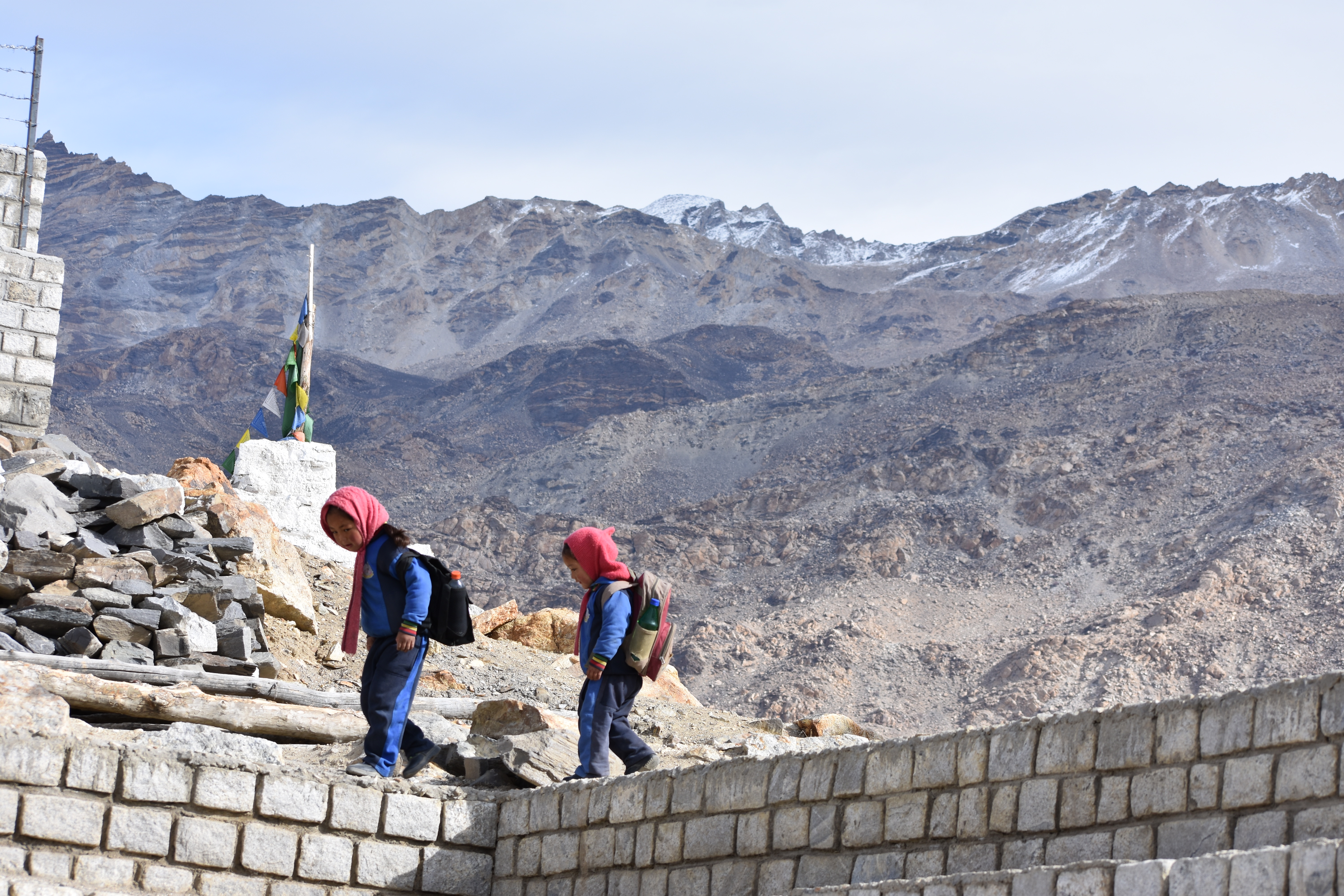
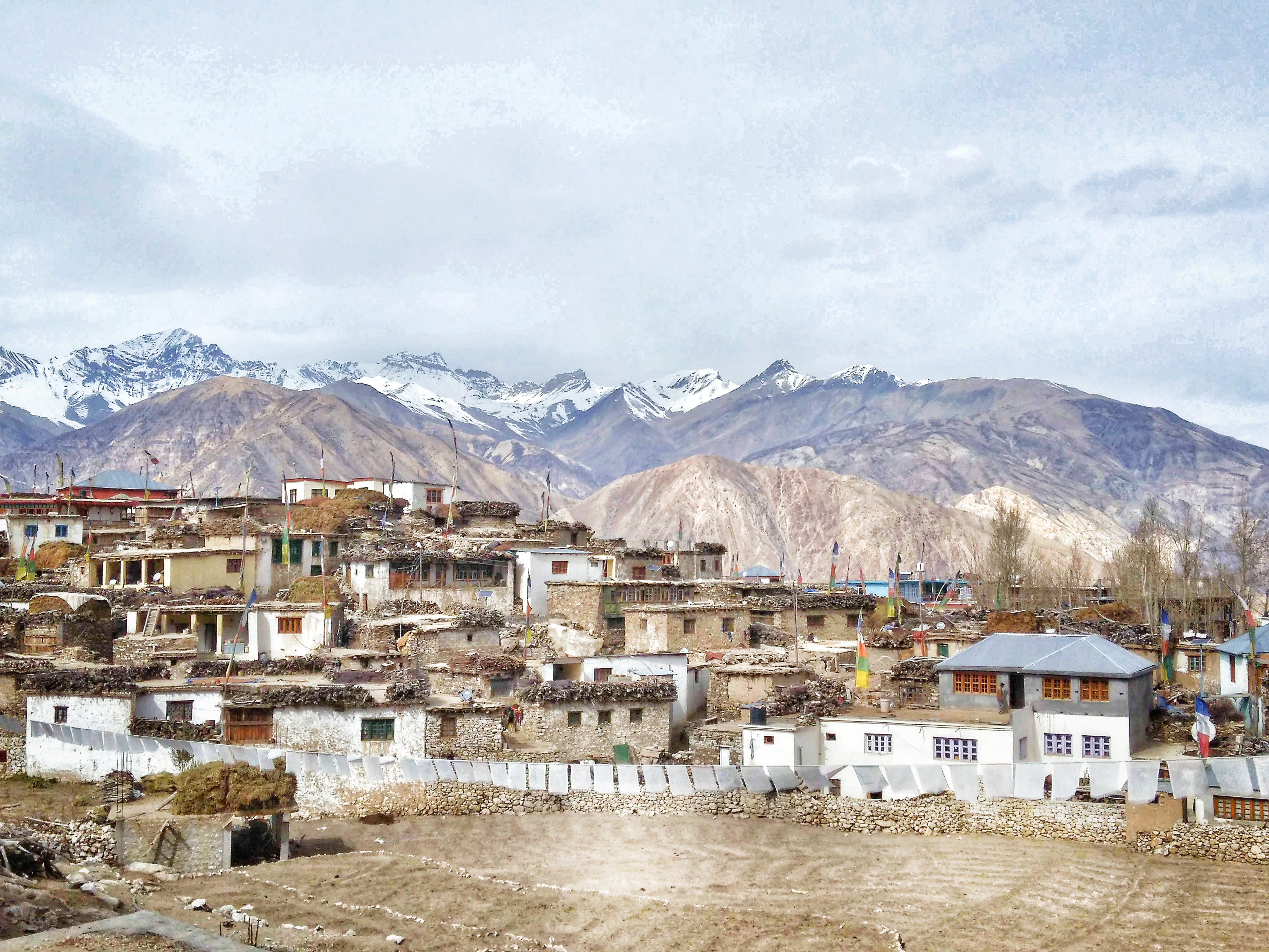
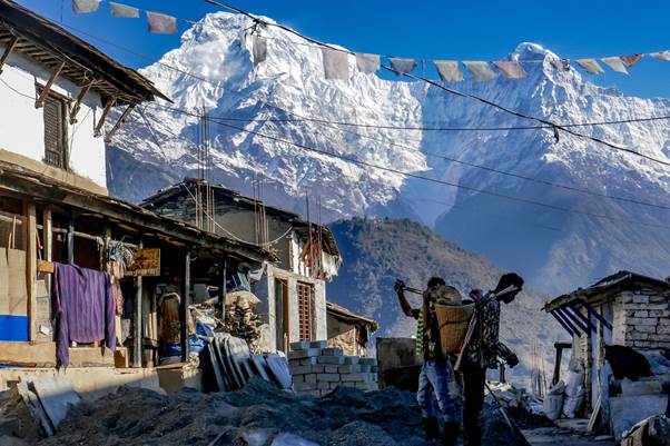
- Experience Gurung and Thakali villages, interact with locals, and understand their traditions
- Sample authentic local dishes like dal bhat, momo, and sel roti in mountain teahouses
- Witness traditional festivals, rituals, and the energy of Himalayan communities
4. Nature Lovers & Photographers:
- Panoramic Himalayan views, frozen waterfalls, alpine meadows, and serene lakes
- Flora and fauna diversity, from rhododendron blooms in spring to snowy alpine landscapes in winter
- Every trail offers Instagram-perfect viewpoints
—
Difficulty & Fitness Levels
| Trek | Duration | Difficulty | Fitness Level Needed | Best For |
|——|———-|————|——————-|———-|
| Annapurna Base Camp (ABC) | 7–12 days | Moderate | Average fitness; can handle 4–6 hrs/day | Couples, beginners, first-time trekkers |
| Annapurna Circuit | 12–20 days | Moderate to Challenging | Good fitness; must handle 6–8 hrs/day & high altitudes | Adventure seekers, experienced trekkers, culture lovers |
| Mardi Himal Trek | 5–7 days | Moderate | Average fitness; shorter days | Photographers, couples, offbeat trek lovers |
| Tilicho Lake Trek | 10–14 days | Challenging | High fitness; high-altitude trekking (4,919m) | Experienced trekkers, adventure enthusiasts |
| Ghorepani Poon Hill Trek | 4–6 days | Easy | Light fitness; beginner-friendly | Couples, beginners, short-trek lovers |
| Nar Phu Valley Trek | 12–15 days | Challenging | High fitness; remote trekking | Adventure seekers, offbeat cultural experience lovers |
Fitness Tips:
- Start walking or light cardio before your trek
- Do uphill training if possible
- Hydrate and eat well during the trek
- Take rest days for acclimatization
—
Why Annapurna is So Popular?
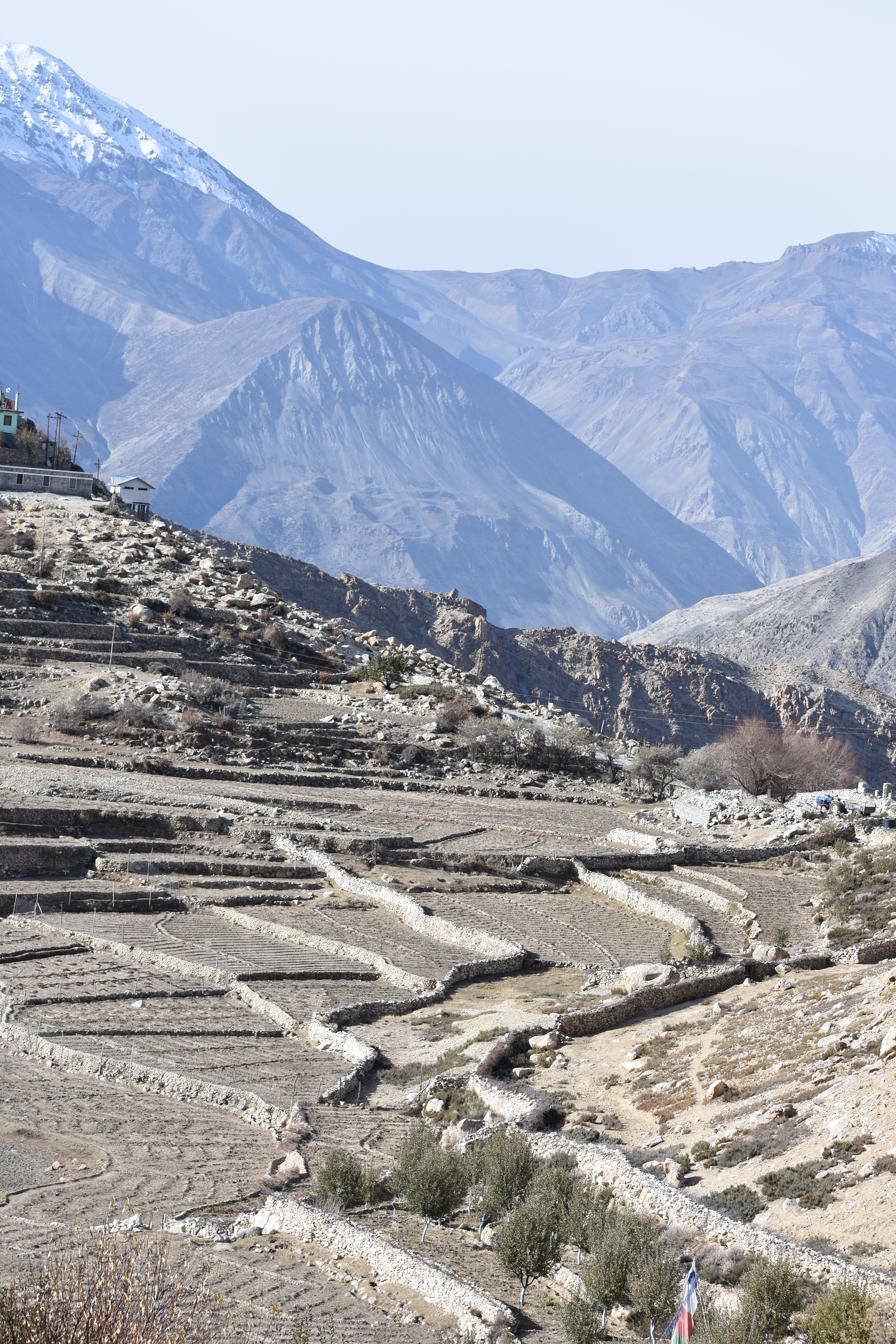
1. Diverse Landscapes in One Trek:
- From subtropical forests to alpine meadows and snow-capped peaks
- Glacial rivers, terraced farms, and waterfalls all along the way
2. Epic Himalayan Views:
- Annapurna South, Machapuchare, Dhaulagiri, and Gangapurna—every step is a photo opportunity
3. Cultural Immersion:
- Walk through Gurung, Thakali, and Tibetan-influenced villages
- Explore ancient temples, monasteries, and local festivals
4. Well-Established Trails & Teahouses:
- Comfortable lodges, hearty food, and supportive local communities make it easier than remote treks
5. For All Types of Travelers:
- Couples, solo travelers, adventure junkies, culture lovers, foodies—all find something here
6. Accessibility:
- Start from Pokhara, just a few hours from Kathmandu
- Trekking routes are well-mapped and can be customized
7. Combination of Adventure + Romance + Culture:
- Sunrise hikes, remote passes, and cozy nights in teahouses
- Authentic local food and energy-filled villages
- A trek that is emotionally fulfilling as much as physically rewarding
—
Top Treks and Trails Around Annapurna
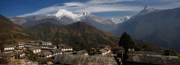
1. Annapurna Base Camp (ABC) Trek – Classic & Scenic
- Duration: 7–12 days
- Difficulty: Moderate
- Highlights: Sunrise at Poon Hill, Machapuchare views, base camp 4,130m
- Vibes: Peaceful, romantic, photogenic, and cozy
2. Annapurna Circuit – Epic Himalayan Adventure
- Duration: 12–20 days
- Difficulty: Moderate to Challenging
- Highlights: Thorong La Pass, Muktinath Temple, Mustang landscapes
- Vibes: Thrilling, spiritual, culturally immersive
3. Mardi Himal Trek – Hidden Gem
- Duration: 5–7 days
- Difficulty: Moderate
- Highlights: Close-up views of Machapuchare
- Vibes: Offbeat adventure, intimate experience, perfect for photographers
4. Tilicho Lake Trek – Ultimate Challenge
- Duration: 10–14 days
- Difficulty: Challenging
- Highlights: One of the world’s highest lakes (4,919m)
- Vibes: Remote, pristine, for hardcore trekkers
5. Ghorepani Poon Hill Trek – Quick & Rewarding
- Duration: 4–6 days
- Difficulty: Easy
- Highlights: Sunrise views, short trek
- Vibes: Romantic, accessible, colorful trails
6. Nar Phu Valley Trek – Offbeat Adventure
- Duration: 12–15 days
- Difficulty: Challenging
- Highlights: Tibetan-style villages, untouched culture
- Vibes: Remote, adventurous, culturally enriching
—
Best Seasons to Trek
- Spring (March–May): Rhododendron blooms, clear skies, perfect views
- Autumn (September–November): Best visibility, pleasant weather, and festive vibes
- Winter (December–February): Snowy trails, peaceful and less crowded
- Monsoon (June–August): Lush greenery, waterfalls, and serene forests
—
Insider Tips
- Acclimatize properly for high passes like Thorong La
- Pack layers: weather changes fast in the Himalayas
- Carry trekking poles for comfort
- Try local foods and interact with villagers—they make the trek magical
- Start from Pokhara for convenient access and pre-trek relaxation
—
Final Thought
The Annapurna region is more than a trek—it’s a complete Himalayan experience.
- For couples, it’s romance amid majestic peaks
- For adventure seekers, it’s thrill and challenge
- For culture lovers, it’s immersion into Himalayan life
- For foodies, it’s a journey of flavors and mountain hospitality
Every trail, every meal, every sunset here becomes a story you’ll carry forever. Annapurna isn’t just a trek—it’s a journey of the heart, mind, and soul.