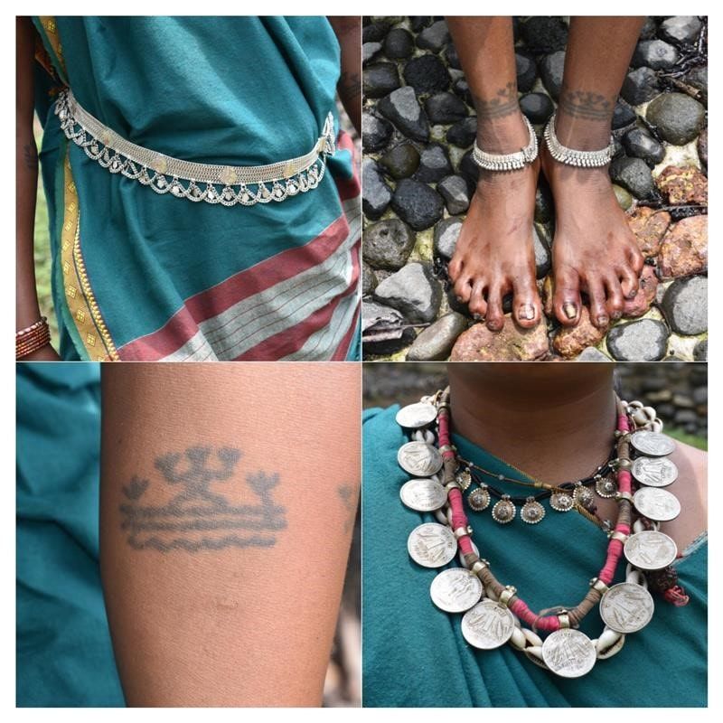
I chose Yercaud primarily because it is a hill station and ideal for a quick summer getaway from Bangalore. I was lured into it more because it is a coffee growing destination at the closest proximity to Bangalore (apart from my own hometown, Kodagu) Interestingly, Yercaud is a 100% Arabica coffee growing region, while it a Robusta major in Kodagu.
We were a bunch of friends who travelled from Bangalore to Salem by train and hired two-wheelers from Salem to Yercaud which we thought was the most convenient and fun way to explore a hill station for a good chilling scene in the peak of the summer season. Since it was sunset time by the time we started our ride from Salem towards Yercaud, darkness engulfed quickly. And even as we rode up the coffee hills via the 32 kms adventurous loop road, we were accompanied by strong winds, uprooted trees across the road, falling branches, a surprisingly heavy downpour and fearful thunderstorms. Despite being drenched to our bones and having a scary ride, we were still thankful that we could navigate the two-wheelers and not be stranded on a 4-wheeler for the rest of the night after being blocked by a fallen tree. The return ride during daylight was equally beautiful because our vacation coincided had with the Coffee blossom season and the entire valley looked and smelled amazing!
If you’re planning to make Yercaud your destination next weekend, here is a list of places you can visit. It is a small hill town, hence I highly recommend having your vehicle to explore as all places are quite a ride away from each other.
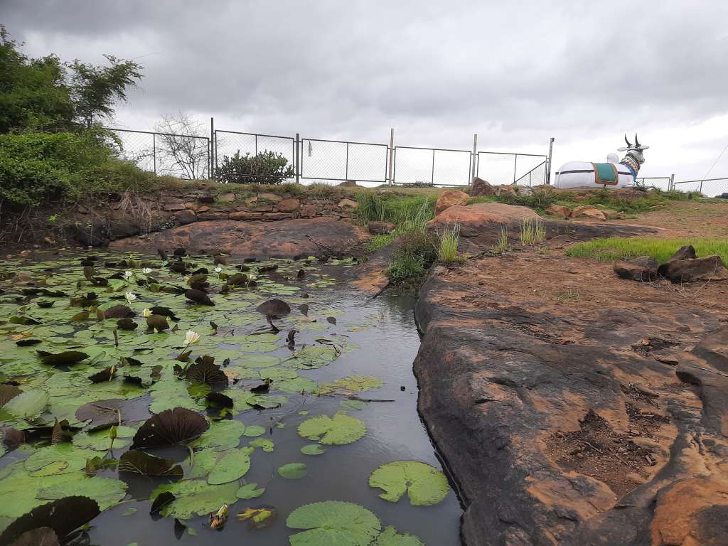
- Yercaud Lake: For a very laid-back day, you can spend it at the lake located in the heart of the town Boating and other water activities can be opted along with some coffee and local snacks by the lakeside.
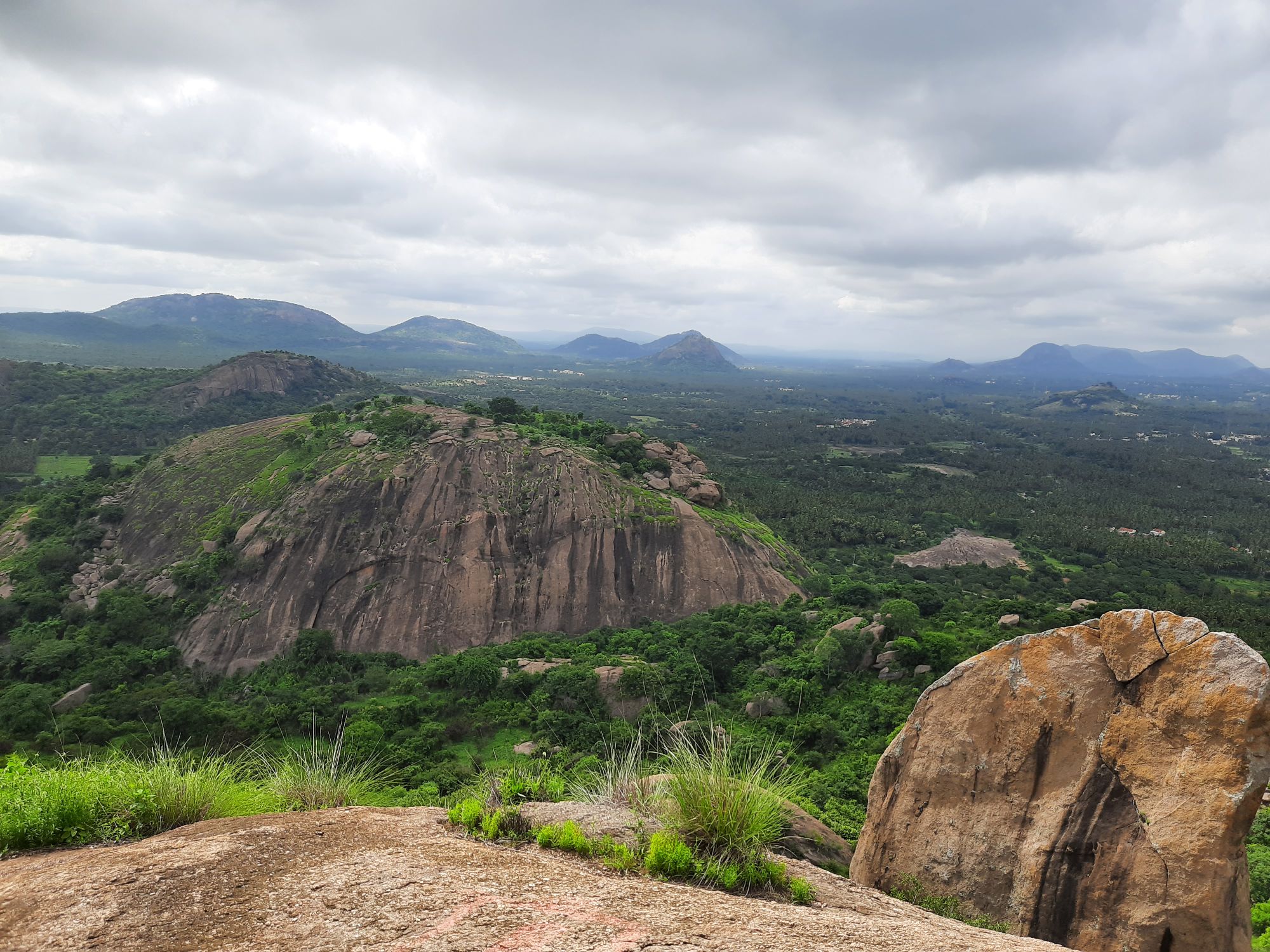
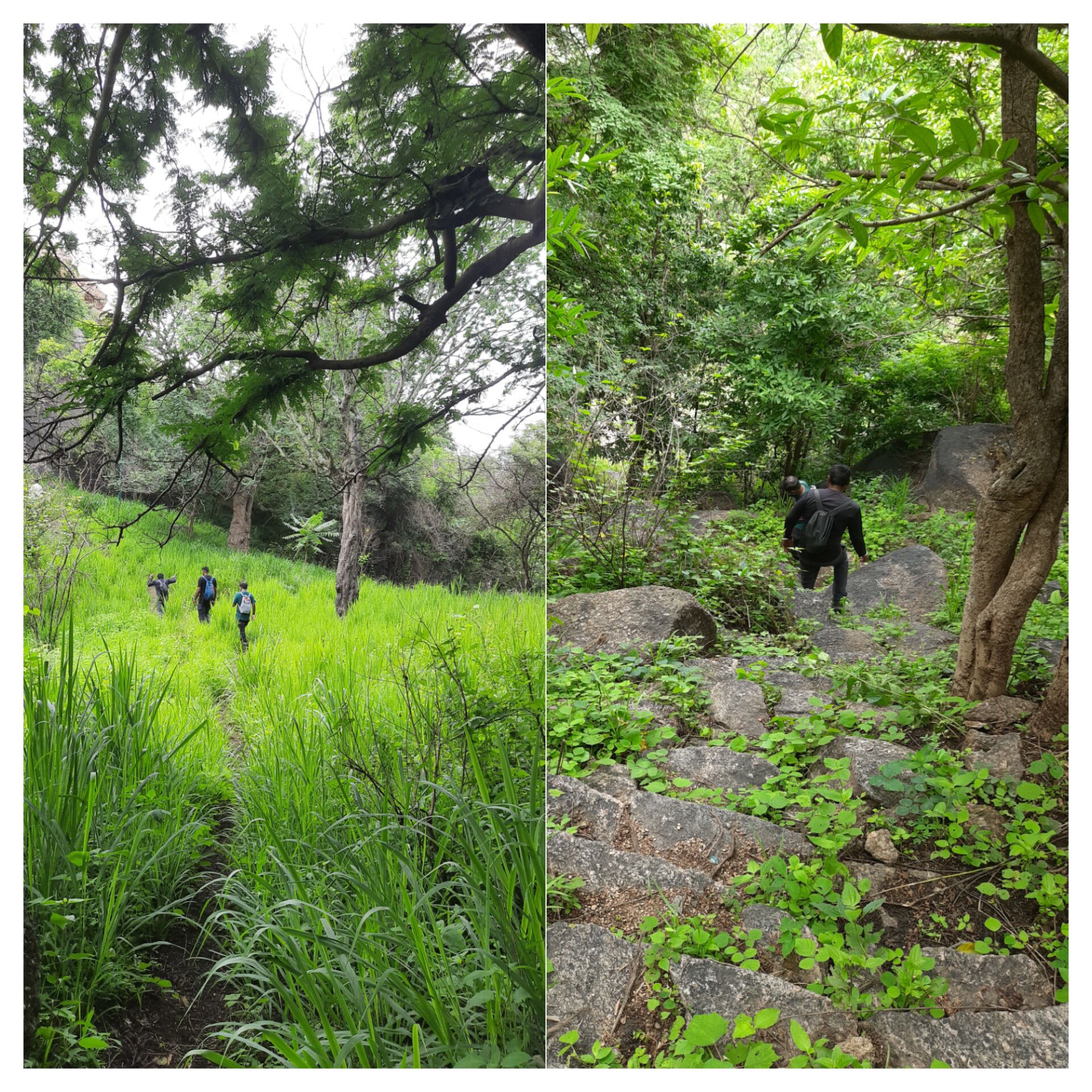
- Lady’s seat, Gent’s seat, Children’s seat, Botanical Garden: Don’t go by the names of these spots like I did to find what the seats were about, they are just names for viewing towers that are built there. You can cover all these spots along a single stretch of a walking trail which offers good views of the surrounding hill ranges.
- Kiliyur waterfalls: You can have a rejuvenating day here by taking a dip in the waterfall here. However, keep the waterflow in check before deciding to venture into the waters depending on the season you visit there.
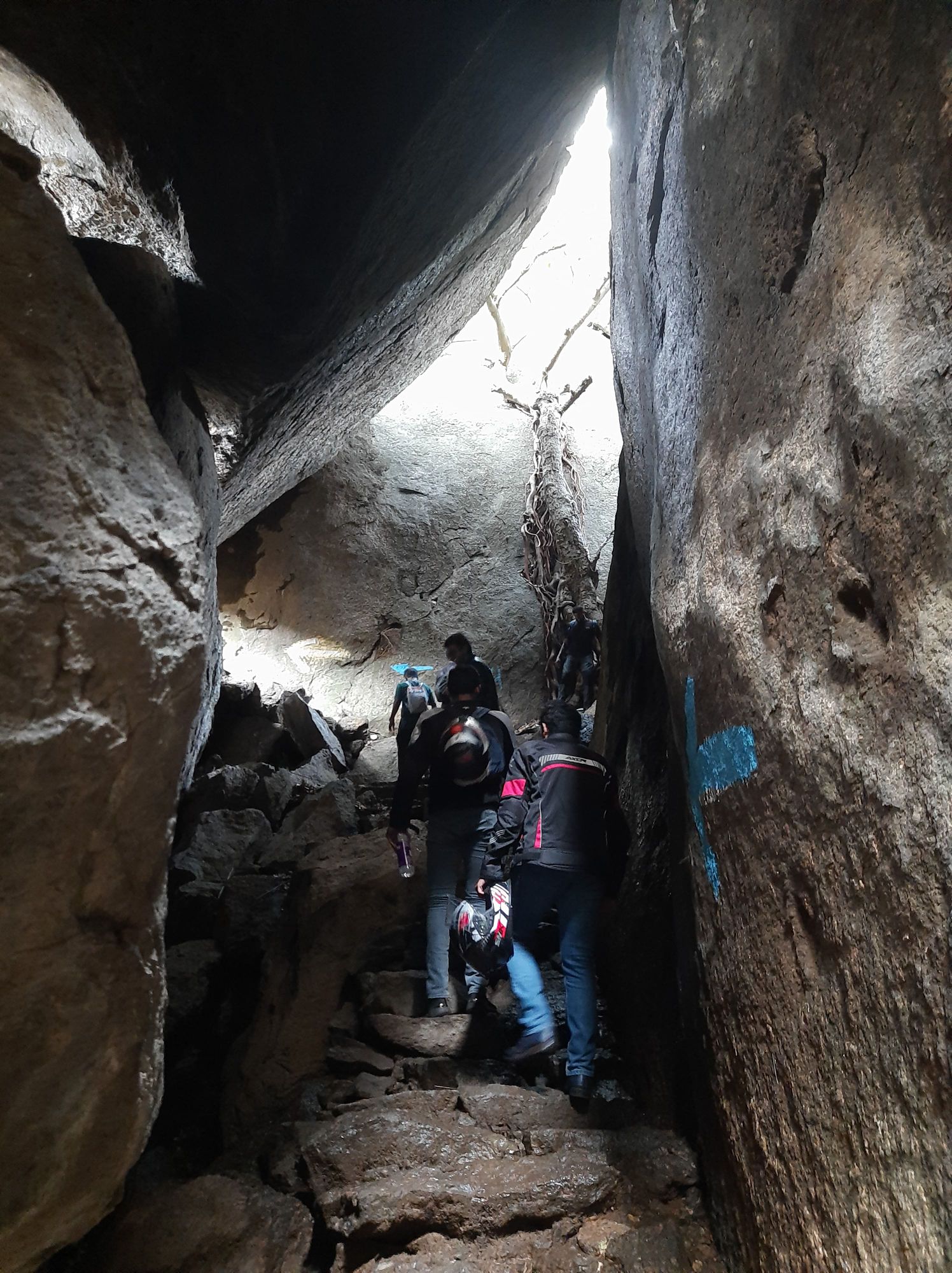
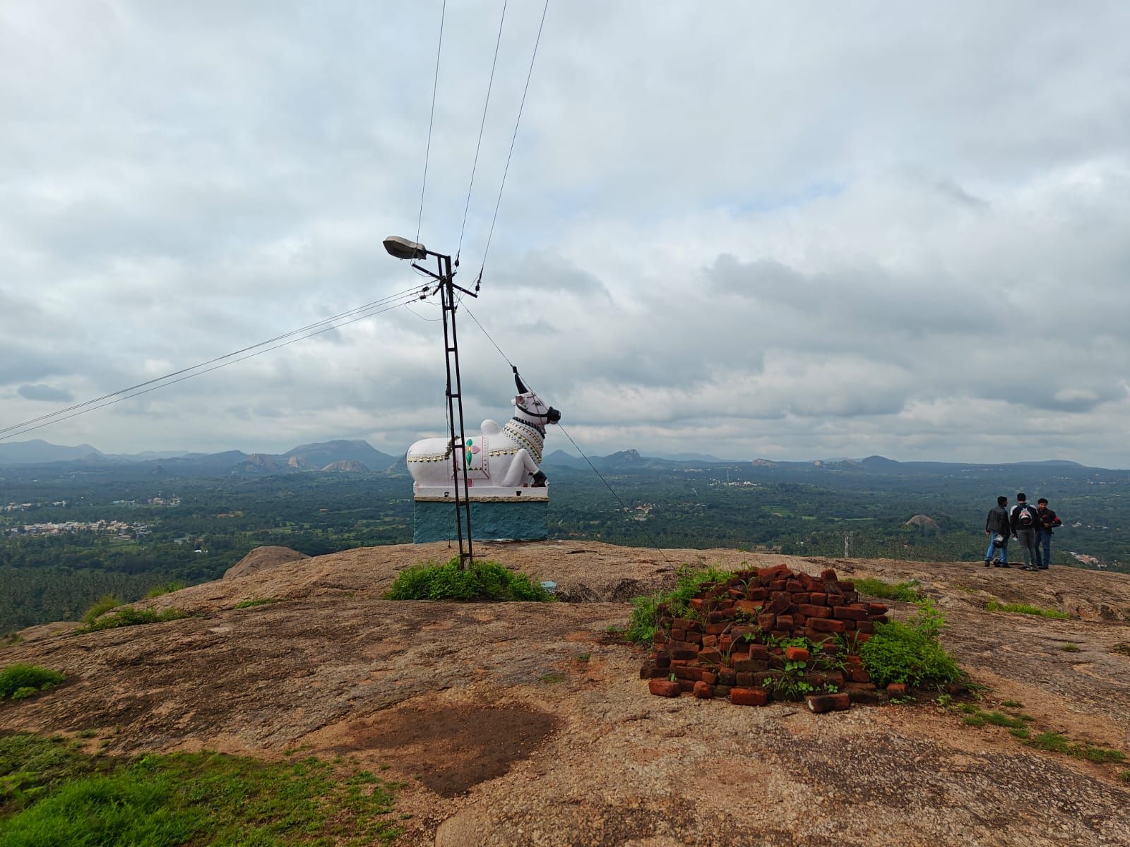
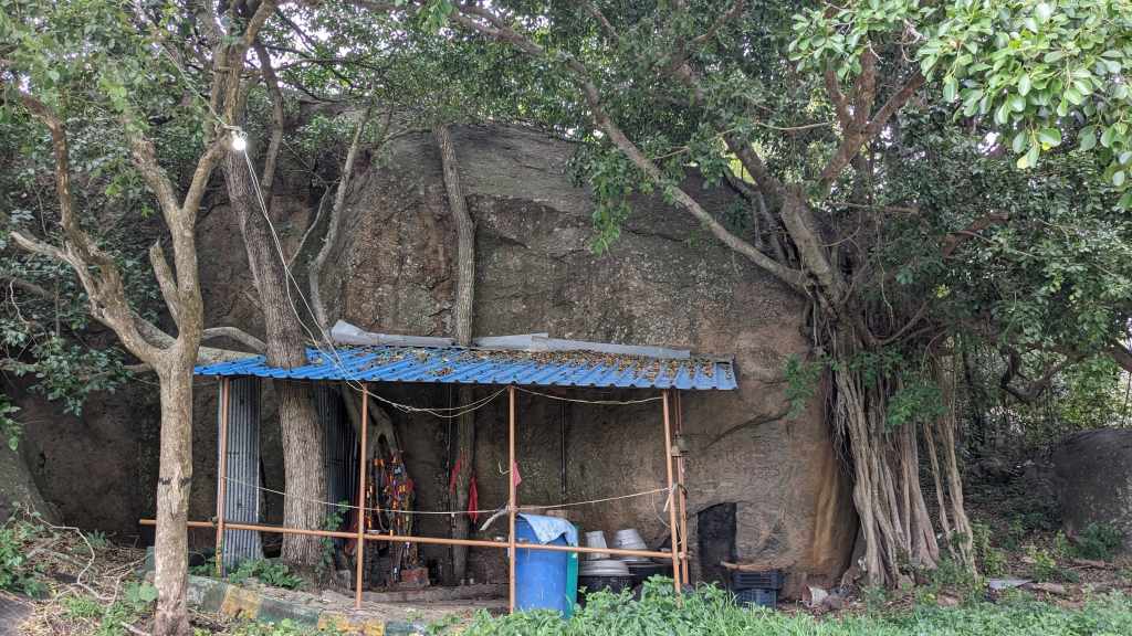
- Shevarayan hills: The hill gets its name from Shevarayan, the local deity who is worshipped inside a small cave at the top of the hill. The hilltop offers a flat area at the peak with great view of the surrounding hills and a favorite among the locals for short drives from the town. At then time of our visit, there was a small fair going on here with giant wheels, merry-go rounds etc, and a lot of small shacks selling snacks, chai and smoke.
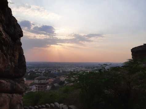
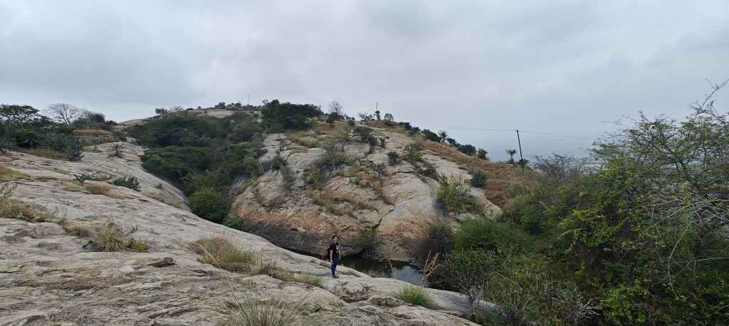
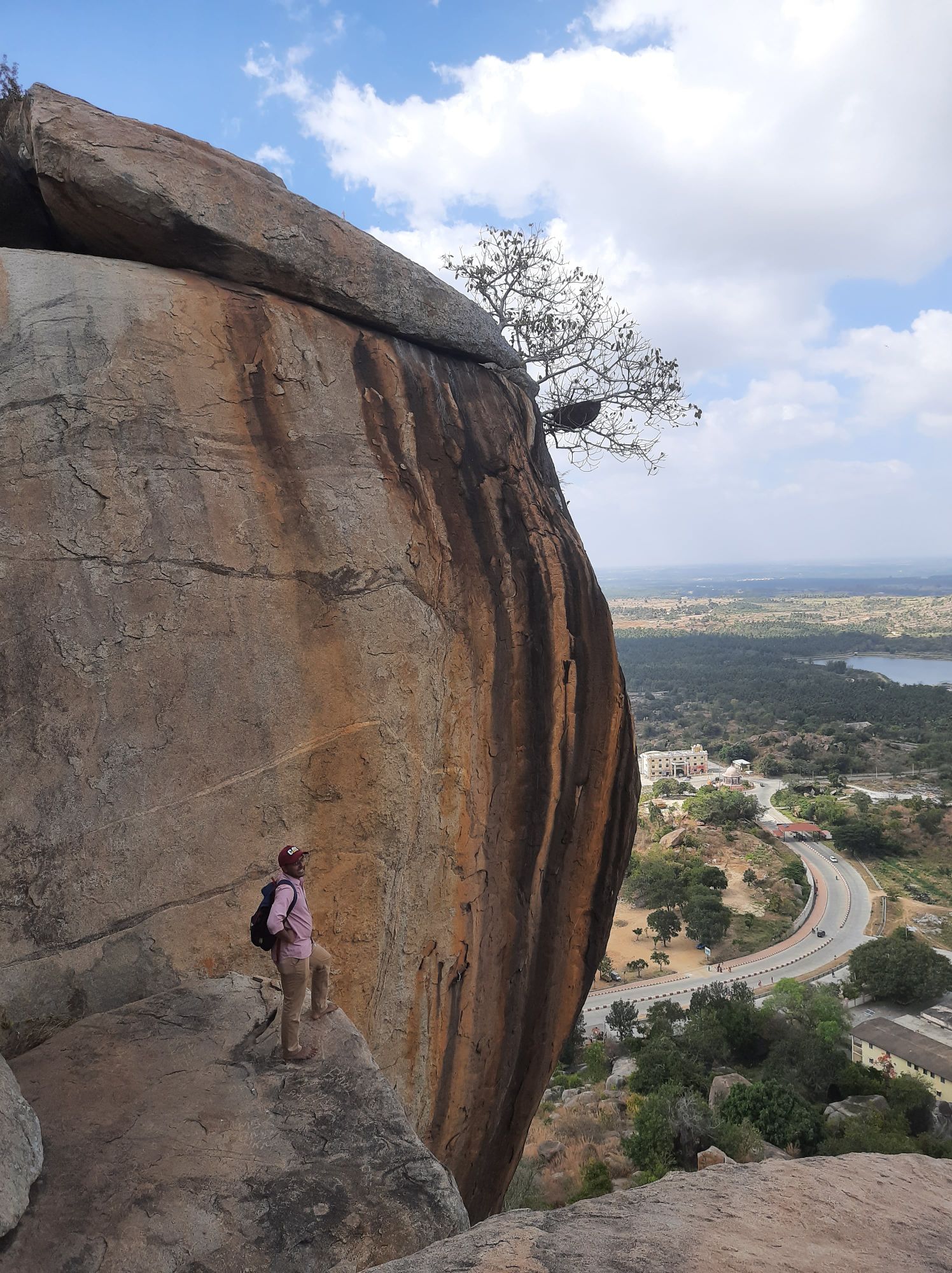
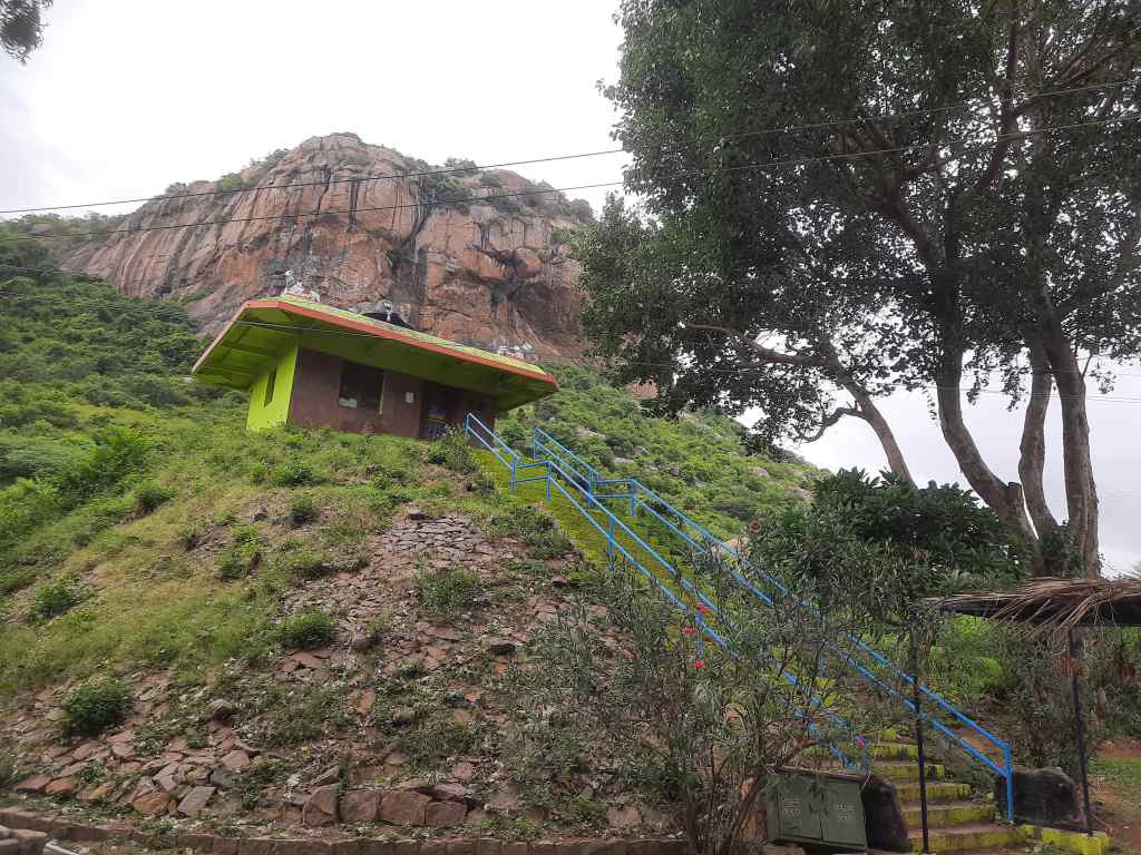
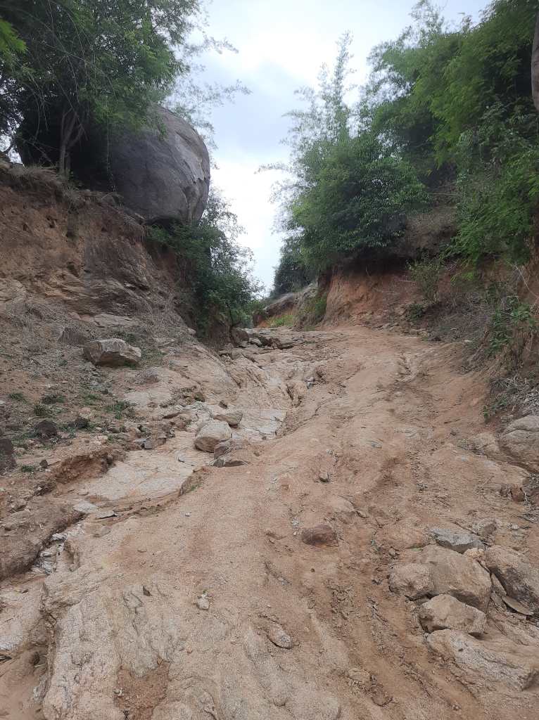
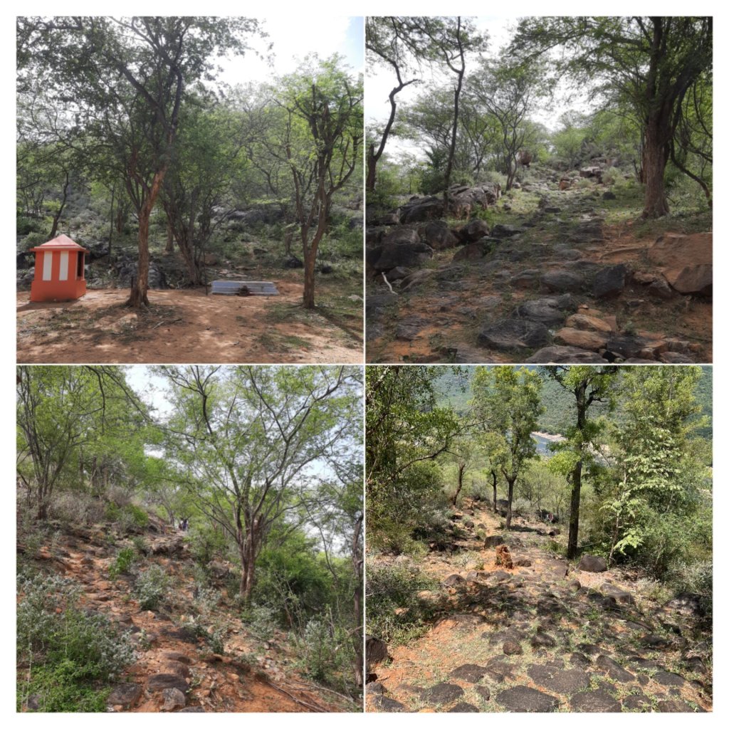
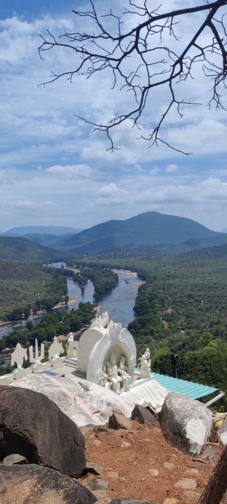
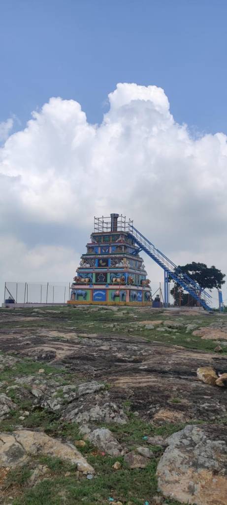
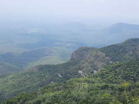
- Karadiyur viewpoint: Thanks to the downpour from the previous night, our ride was hard, tricky and slippery through the muddy last stretch to get to the entrance of this place. But it was completely worth it, and it gets my highest recommendation to visit here for a sunset view. It was beautiful. Among all the viewpoints we had thus far explored in Yercaud, the entry here was ticketed but the view made complete justice to it. A short ride from here is the Sri Chakra Maha Meru temple. But we decided to skip this since we spent more time at the viewpoint rather that rushing to a more recently constructed temple before it got dark.
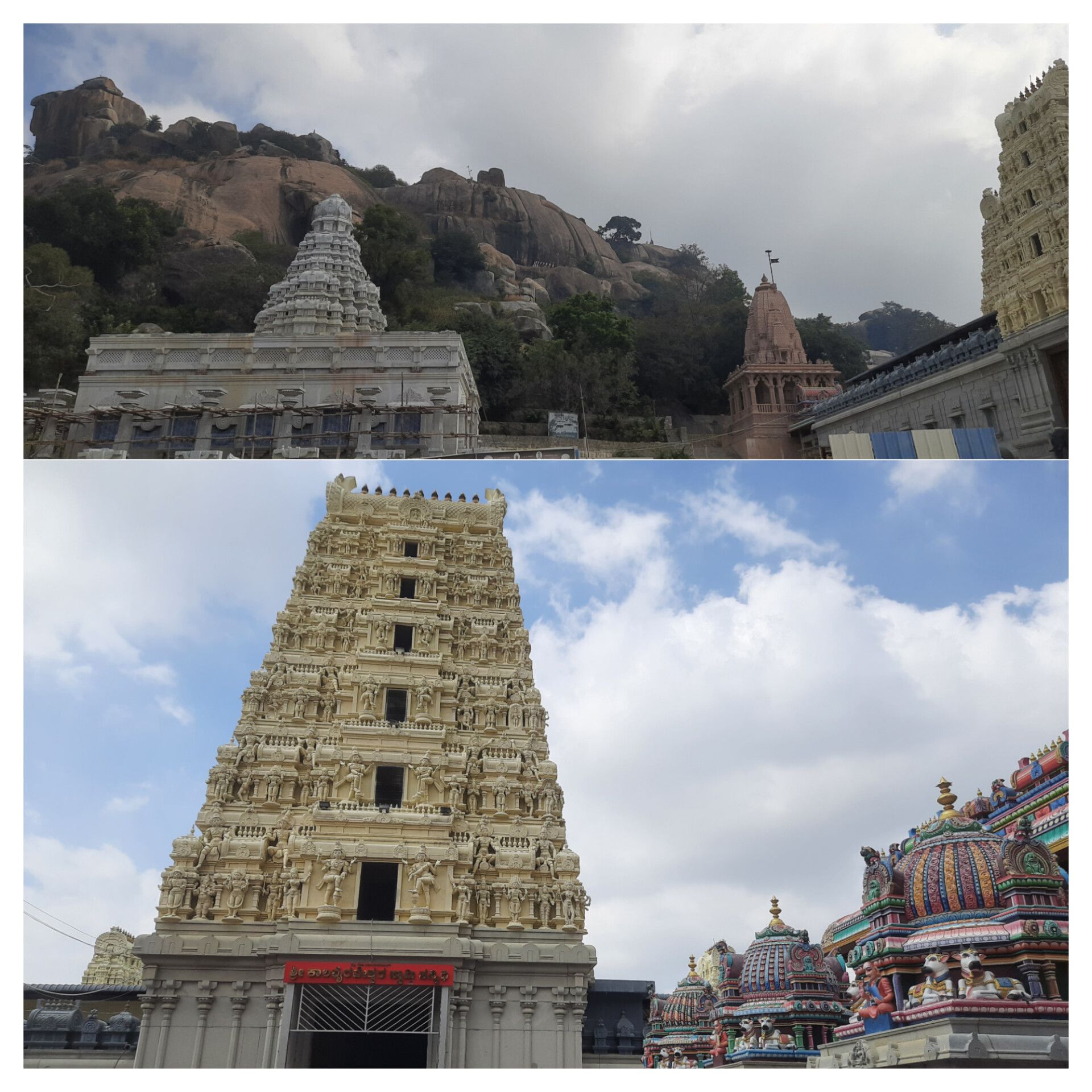
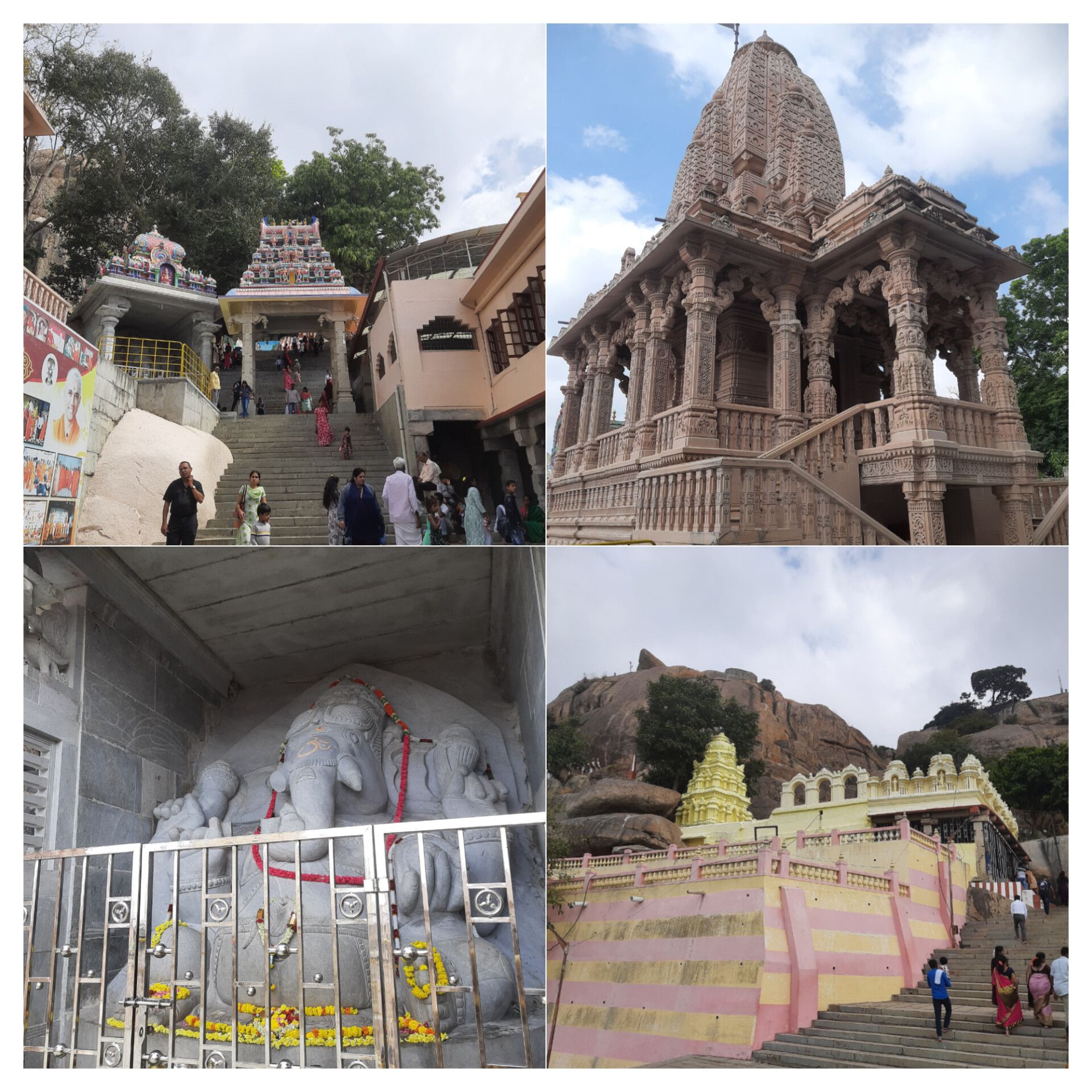
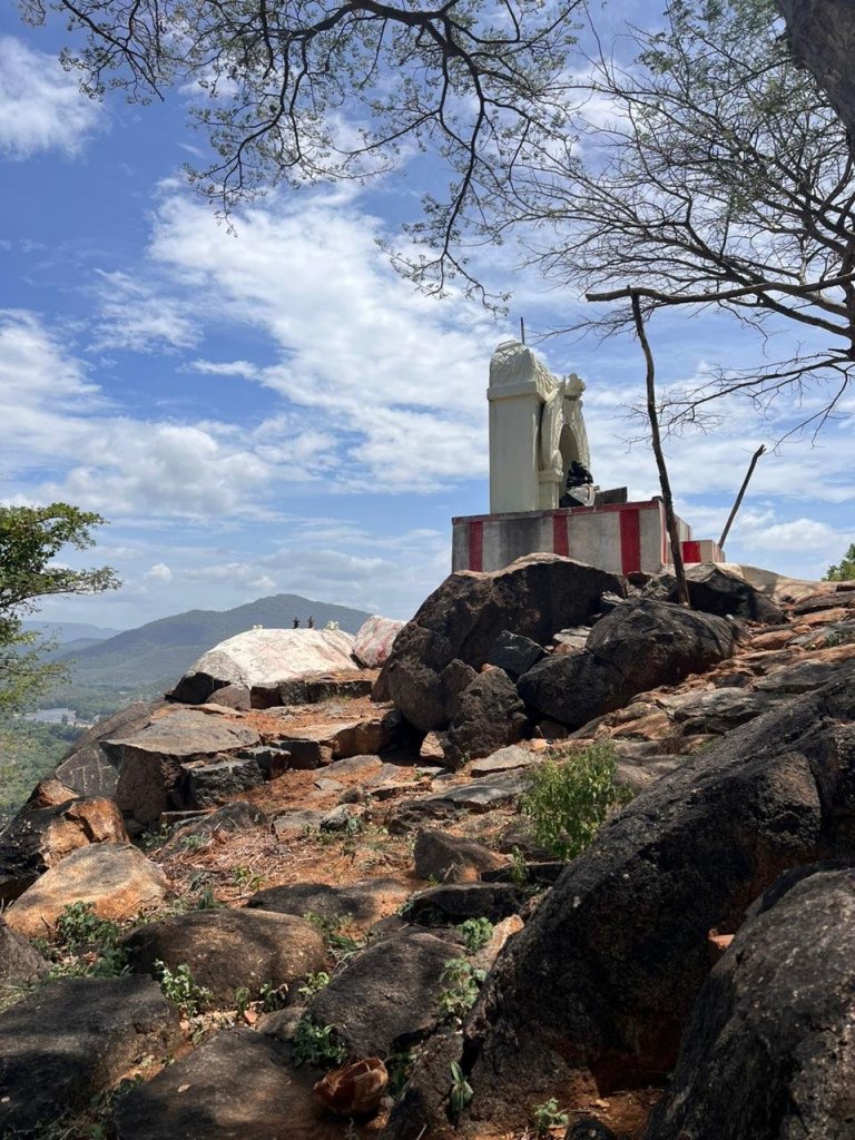
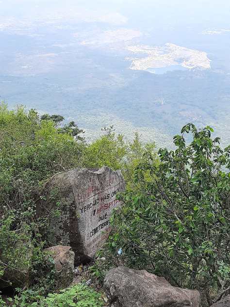
- Annamalaiyar temple: This place gets my second highest recommendation if I were allowed to rate places. We visited here in the afternoon and yet the 360 degrees view from here was just amazing. The temple itself was a small structure whose top can be accessed by a small ladder which serves as a watch tower also. Even at peak noon, the winds were so strong, the temperatures so cool and the vibe so peaceful.
- Pagoda viewpoint: A landmark usually marked on a touristy map of Yercaud, there is a watch tower which provides a good view but not as best as what I have seen at the above-mentioned less-frequented spots. There is also a telescope installed by the government for education purposes which can be accessed by any interested public. The access is free of charge, but it would be generous on your part to tip the person guiding you through when you handle the instrument by yourself.
We stayed at a luxury resort built within a 100+ acres coffee and spice plantation in Yercaud. We spent our vacation without packing too many things as the hills themselves are very laid back. Apart from spending time doing activities like plantation walks, birdwatching etc. at the resort, we explored the places listed above and feel that our time was aptly occupied. Depending on whether you want to extend your stay for another leisurely day or pack your day with few more spots, you can visit the places below.
- Montfort School: Located in the heart of the town, it came as a recommendation on google for places to visit. However, when we arrived at the school gates, we were denied entry into the premises. Not sure of the reason, maybe because it was still school time.
- Sangalathudi viewpoint: We skipped this since we had done few viewpoints already.
- Manjakuttai viewpoint: This was a high recommendation on google for a sunrise view. We decided to give this a miss considering the distance from our accommodation and the laziness to wake up so early on a leisurely weekend trip.
- Tippery viewpoint: Located on the southernmost point of Yercaud, it is another good place to see the hills.
- Norton bungalow: This used to be a British bungalow, now owned by a private entity on the way to Shevarayan temple. So, it requires prior permission to enter the premises. We tried to locate it on google, but could not get the right directions and leads for the required permits.
- Bear’s cave: This is a google landmark located inside a private estate near the Norton bungalow. But we had to skip it since we couldn’t locate it.
- Nallur waterfalls: We skipped this since we had already added Kiliyur waterfalls to our visit and Nallur was quite far away from our accommodation.
Food:
We mostly ate our breakfast and dinner at the resort itself since they had good buffet and ala-carte menu. Apart from that, they also made good woodfired pizza served in an outdoor seating adding to the ambience. But we tried lunch at Sweet Rascal restaurant based on high user ratings. They serve Sri Lankan cuisine with a limited menu to choose from that menu changes every day. Since all the ingredients are freshly bought in limited quantities daily, it is highly recommended you make a prior reservation of a table. The food was good and the ambience even better. They have indoor and outdoor seating with lot of greenery and various kinds of pet animals around. But what makes your visit even more exciting is the collection of hearty anecdotes and funny quotes pasted and painted all around the property.
I hope this post is useful to plan your next weekend getaway from Bangalore. Let me know in comments if you have any questions or feedback.