Tag Archives: Offbeat things to do in India

As the Neelakurinji blossoms, the Nilgiris spectacles

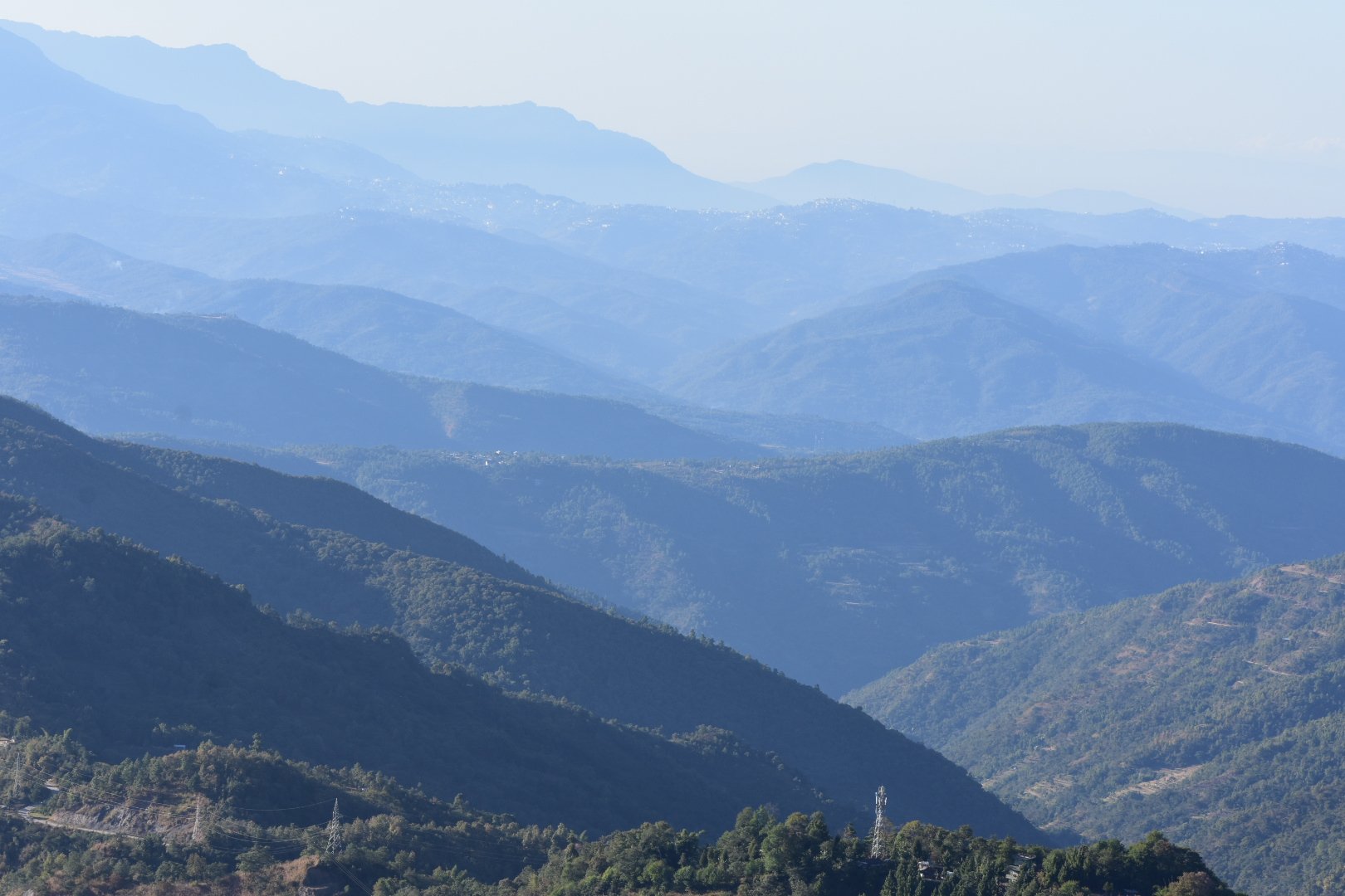
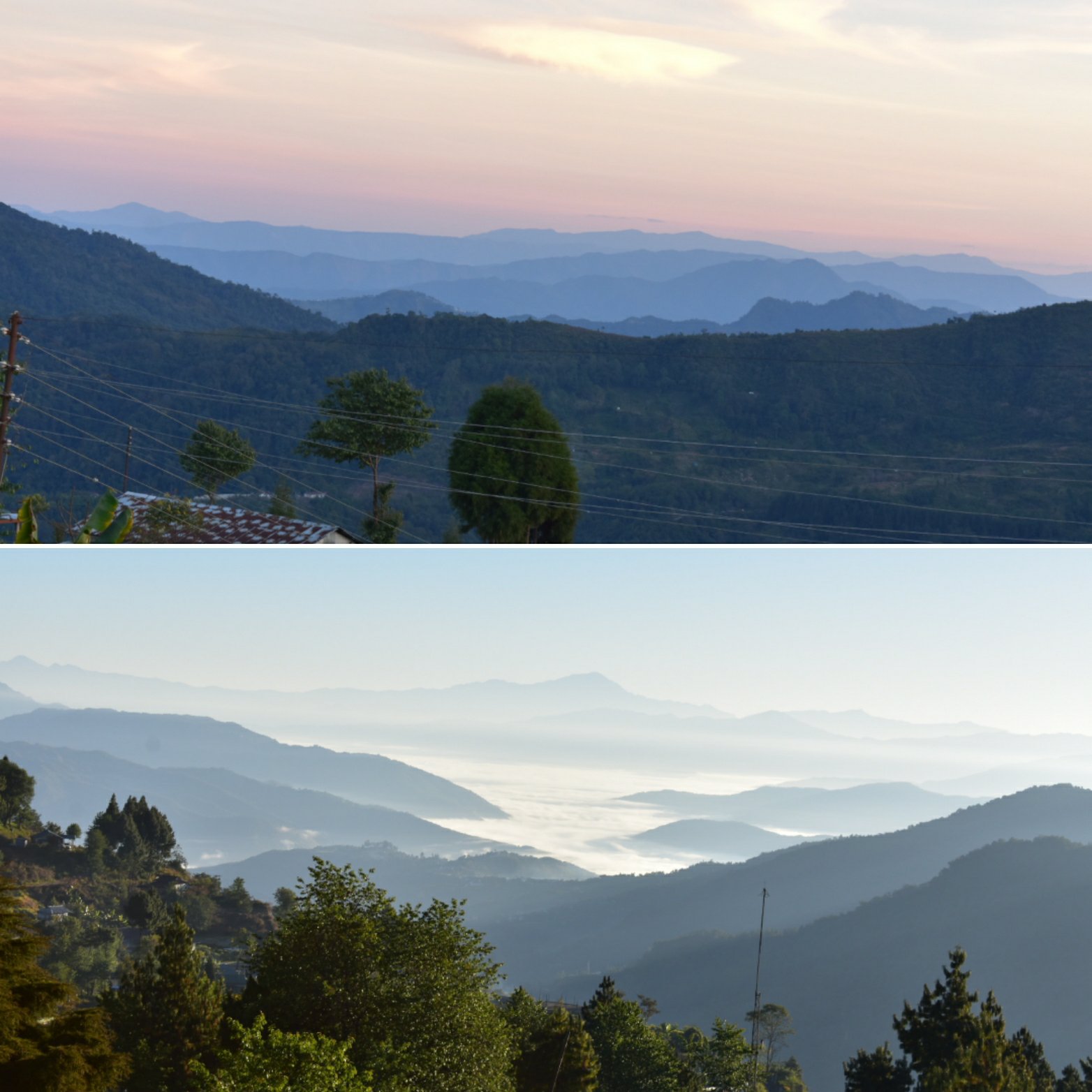
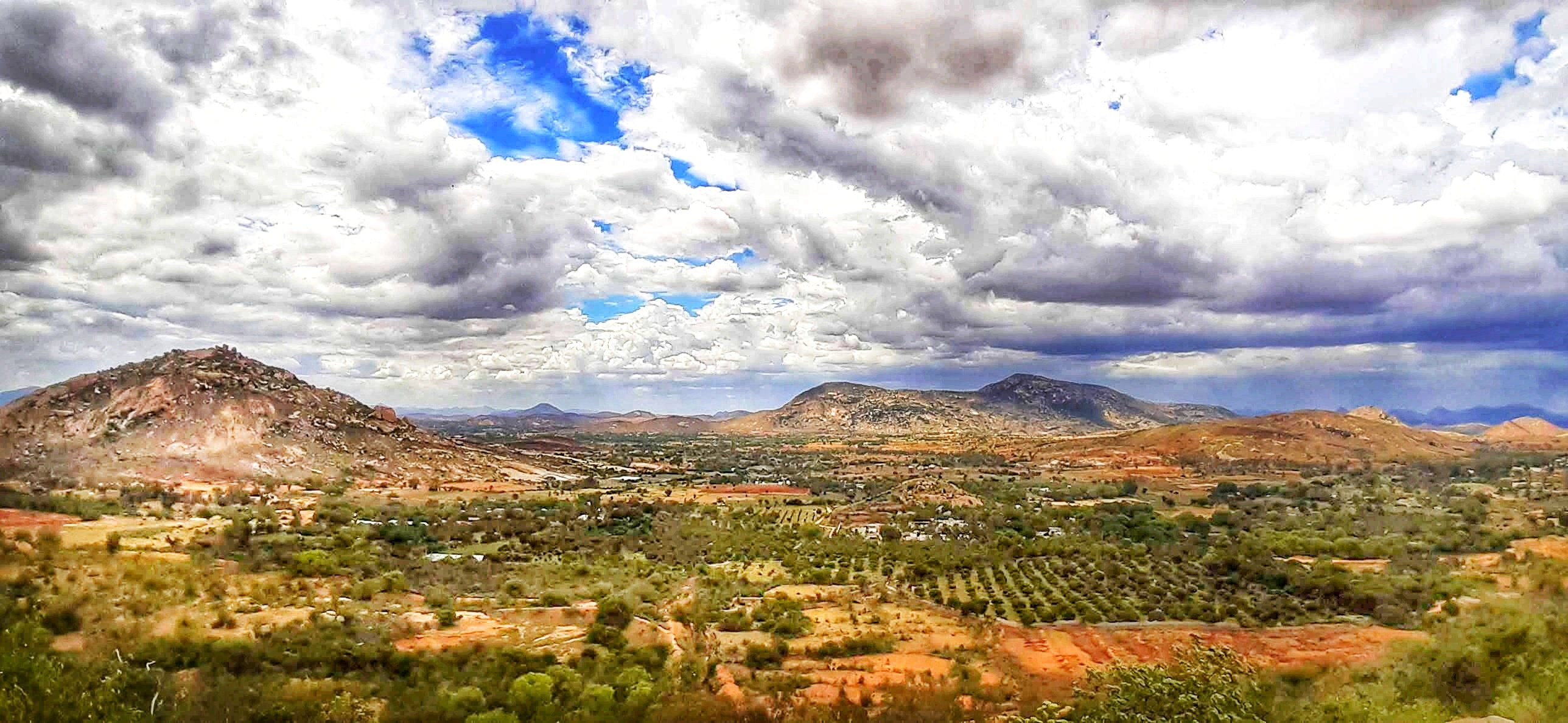
Heard of the blue hills? Does the name ‘Nilgiris’ strike any bell? For those who know less, it is a part of the Western Ghats, a UNESCO World heritage site in the southern peninsula of India. The ‘Neel-giris’ literally translates to ‘Blue-Hills’ because these hills get their colour from a particular phenomenon. A particular species of the Strobilanthes kunthiana flowers, locally called the Neela-Kurinji bloom once in twelve years. When in full bloom, the entire hill range looks blue, thus giving the hills their name. The last mass-flowering of the neelakurinji flowers happened in 2018 and I left no leaf unturned to witness this spectacle. There were a couple of hotspots identified by the Kerala forest department where arrangements were made to allow visitors to see the flowers.
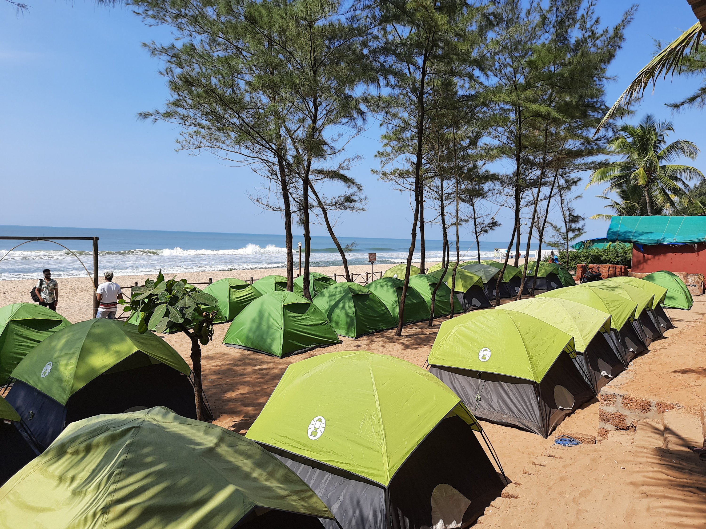
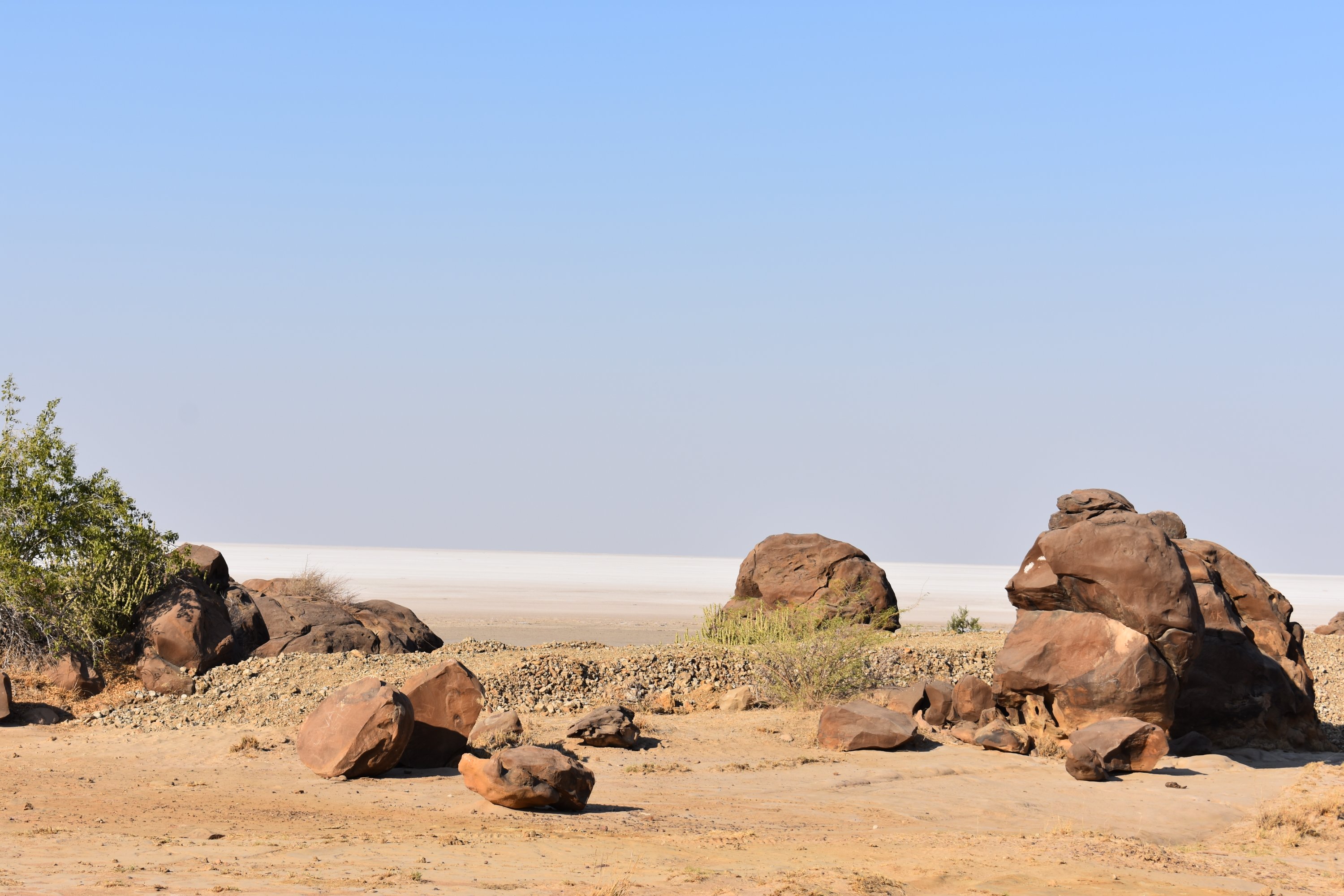
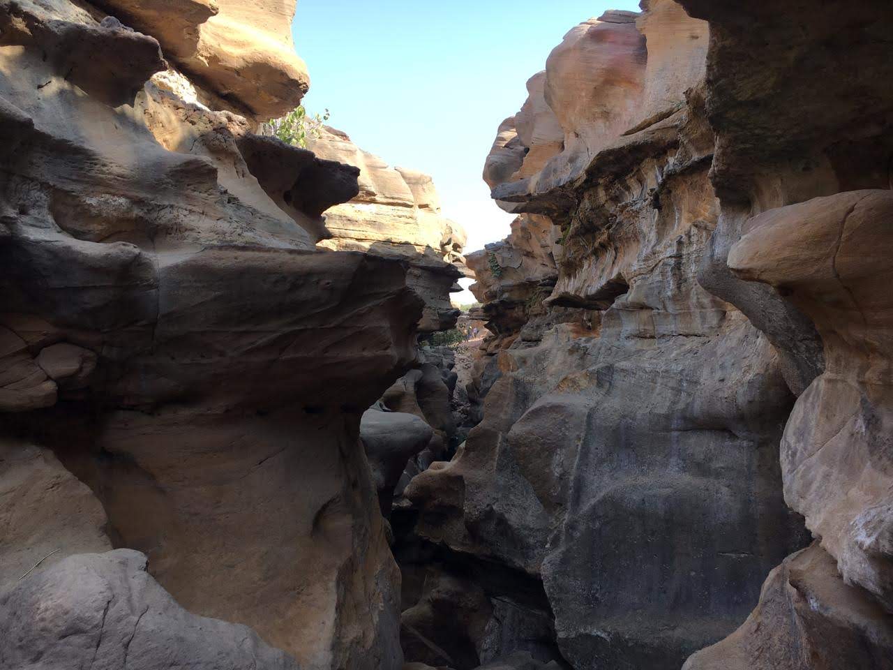
My friends and I decided to visit the Eravikulam National park, located close to Munnar. This stretch of the hills was where most of the blossoms were supposed to happen. After finalizing the visit dates in Sept’18, the Delhi friends had booked their flight tickets to fly down and the remaining of us booked our bus tickets from Bangalore to Munnar. I had got all the necessary entry permits from the forest authorities and booked accommodation in Munnar for all of us. All this was done months in advance to have a confirmed entry anticipating the tourist influx for such a spectacle, if we waited until later. We were all set and waiting for the travel to finally happen.

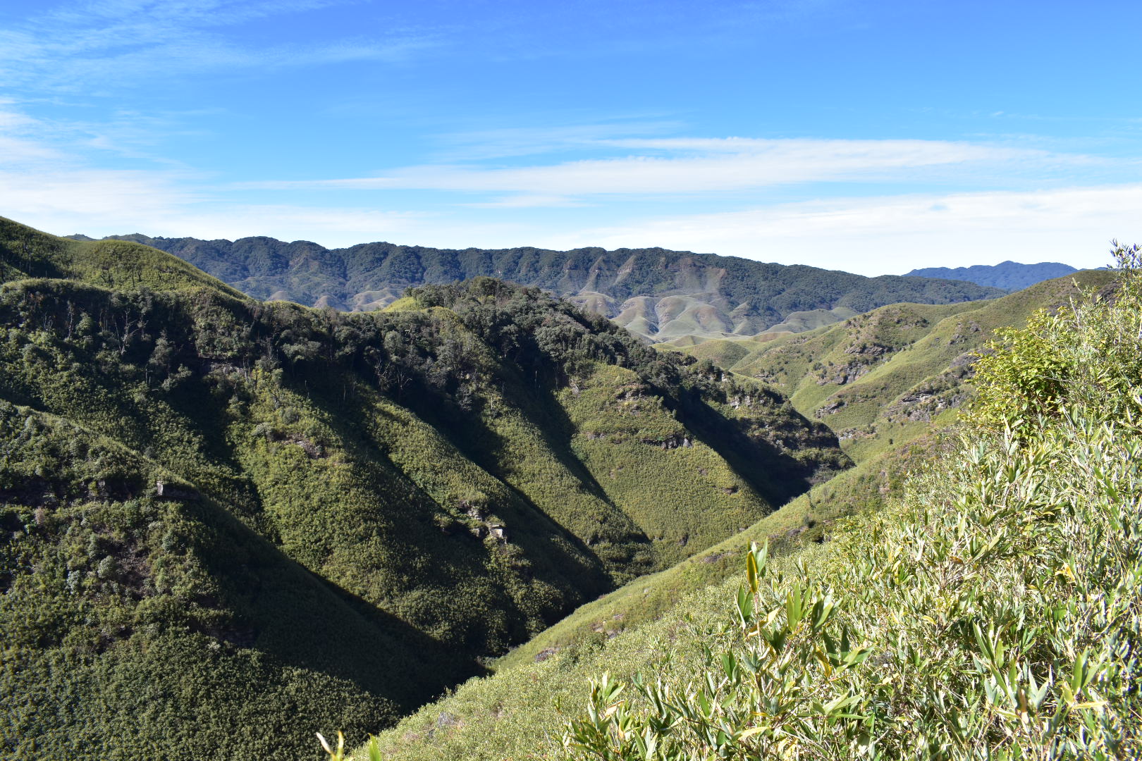
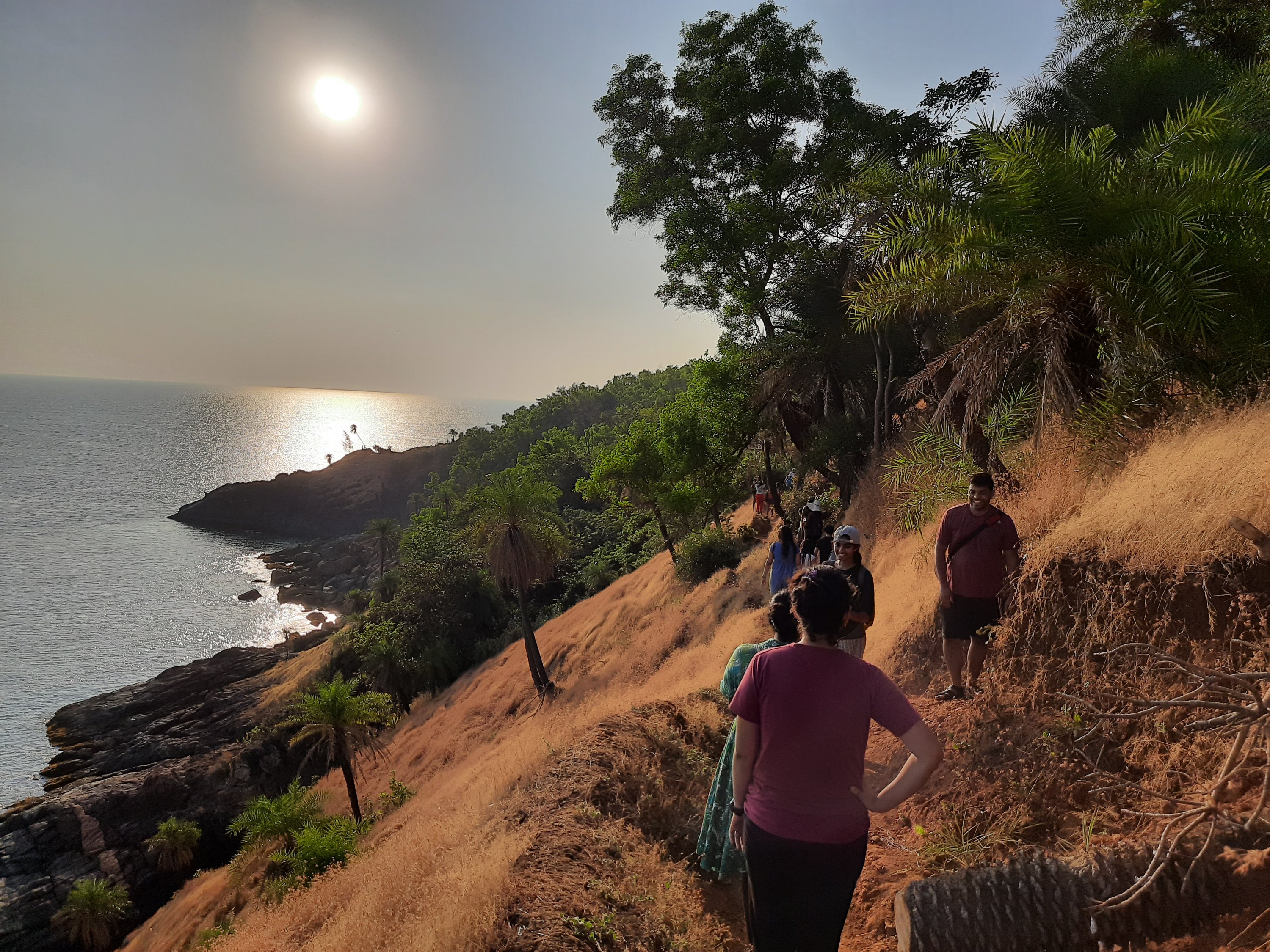
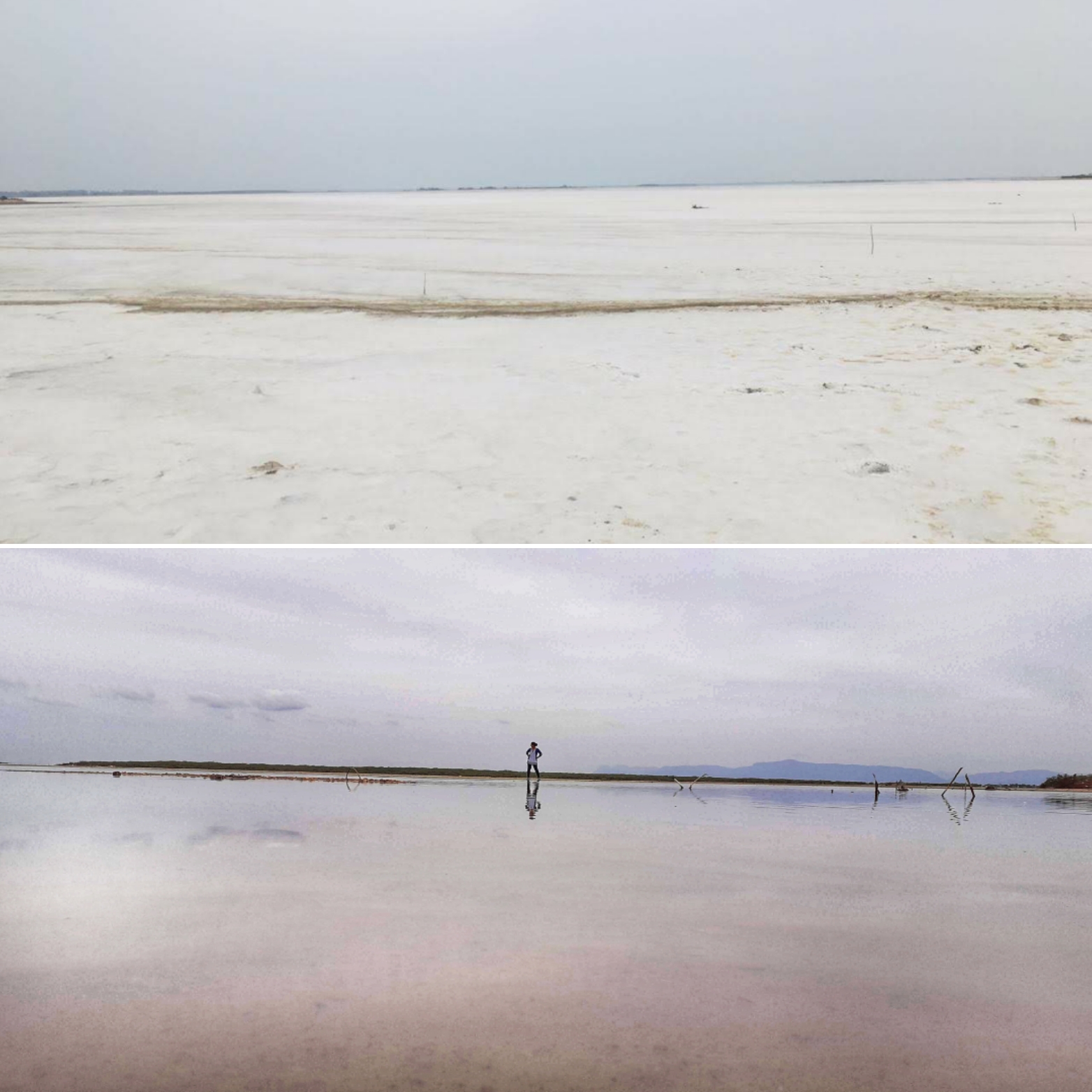
Come July’18, the rain gods had wreaked havoc in the western Ghats. The entire stretch of western Ghats in Karnataka and Kerala had been damaged by the heaviest rains in eight decades. The damage done was massive to geography, property and life along these areas. In the event of things, damage was done even to the neelakurinji plants and the blossoms were feared to be washed out. Once the rain gods had calmed down and the ground situation of floods seemed to have receded, we waited to see if there was any luck in waiting until September. We were in constant touch with a few locals who gave us the updates on the status of the blue hills. Come September and we decided to go ahead with our original plan. We all had finally arrived at Munnar and were heading towards Eravikulam National Park.

Once there, Yes, there were enough plants destroyed. The stronger few, had managed to bear flowers. We walked along the laden path, feeling grateful for at least so many of the plants had survived. Since these plants blossom only once every 12 years, it means that their reproduction cycle is longer than usual. This also means that, most of the Neelakurinji vegetation is lost in the 2018 monsoon and the next flowering cycle of the year 2030 may not happen at a mass-scale as it is usually supposed to happen at all!! Anyway, we enjoyed whatever we were witnessing.

img_20200216_1230514763208106210940115.jpg
The Neelakurinji flowers at Eravikulam National park

Also, Neelakurinji is only a sub-species of the larger group of flowers called the Kurinji. The Kurinji flowers come in several colors- white, peach, purple, etc. Here is a collection of the Kurinji flowers from Eravikulam National park that we saw during our visit.

img_20200216_1232387674453963735820057.jpg
The various Kurinji flowers at Eravikulam National park

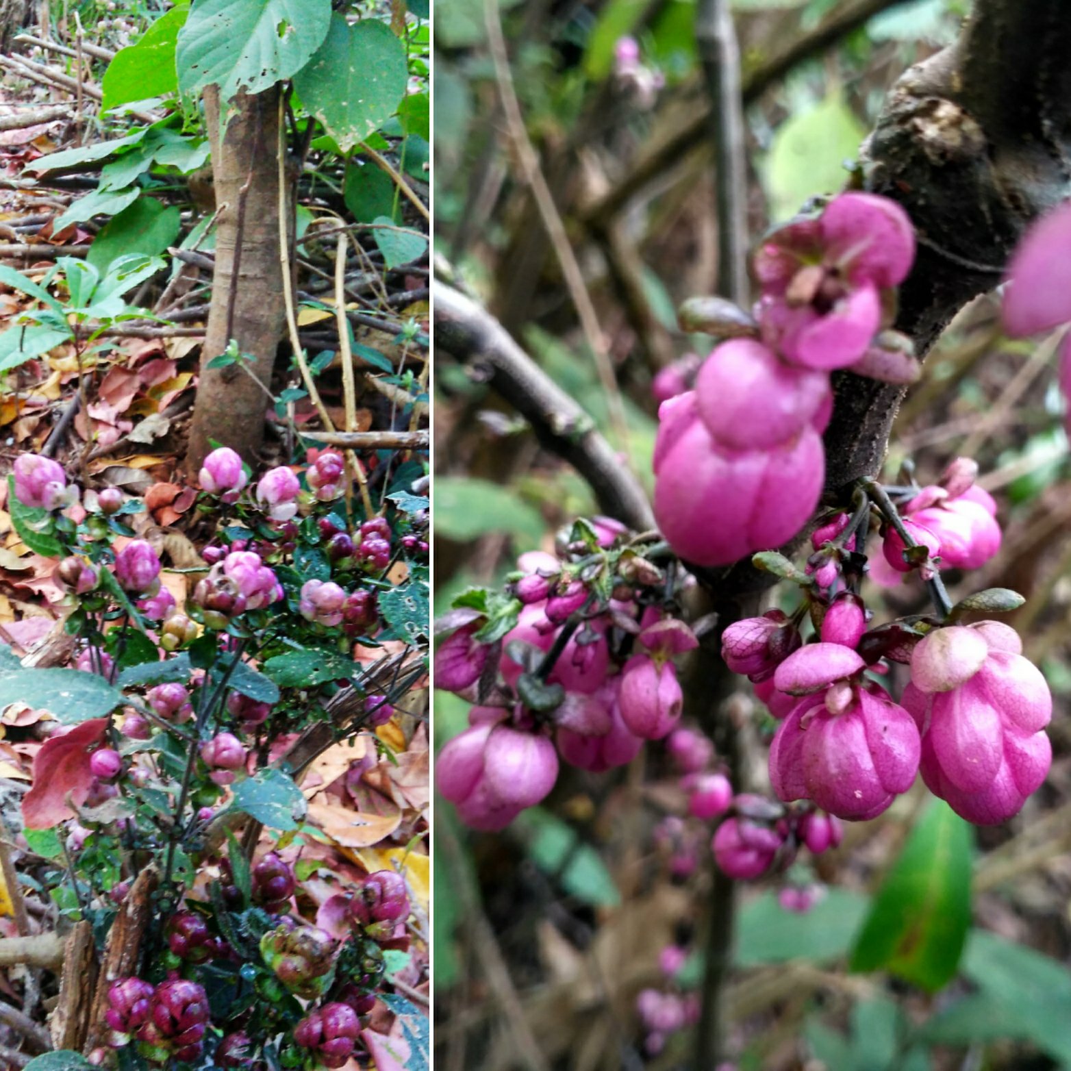
So that said, I was back in my hometown the following week and visited our piece of farmland to check on its status after the monsoon. It used to be a spice plantation that remained unmaintained for a long time before we, siblings ventured into developing it. our farm is a short walk away from the main road. When we arrived there and decided to walk, the entire path was filled with what seemed like some weed that had overgrown during the monsoon. We used a machete to make way for ourselves to walk further. Just a few steps into the area, we were surrounded with pink/ maroon flowers all around us. ‘These weeds had flowered expansively’, we wondered. We took a lot of photos, made way for ourselves, finished our work and returned home. When we discussed about the weeds with the elders in the family, we were surprised to hear that these plants also belonged to the Kurinji family.

img_20200216_1228147702483363187051058.jpg
The Kurinji flowers from our farm in Kodagu

Further, an important month in the Kodava and the Tamil calendar is the month of Kakkada or Aadi. In Kodagu, on the 18th day of this month a special dish is prepared using a locally available herb. Its juice is believed to contain 18 medicinal values. It leaves a very deep blue/violet pigment when cooked and consumed only on this day. And what is this plant called? Don’t even guess… Locally called ‘Maddh thoppu’ or ‘Aadi soppu’, it is also a variety of Kurunji.
So, Kodagu primarily has three types of Kurinji; the flowering weed(Maley Kurinji(as in hill), Etth Kurinji(as in cattle) and Maddh Kurinji(as in medicine).
A little bit of googling allowed me learn that there are many sub-species of the Kurinji and each have their own flowering cycles. While some bloom annually, some bloom once in six years and some take a couple of decades. Neelakurinji was just one among them.

Lesson learnt: How often do we tend to ignore the little things from our own backyard? We think these are too trivial to spend time and look for things elsewhere. It is often that people associate that better things come only when money is spent and distances are travelled, but the truth may be that it is something that we have been conveniently ignoring in our own vicinity.
What is your take on this thought?

A festival to Raid the graveyard- Mayana Kollai

Come the night of Mahashivaratri, there will be festivities across the country. People stay up all night and participate in bhajans, pooja offerings, chariot pulling etc. all to keep themselves awake for the night, so that their beloved Lord, Shiva gets good rest after taking care of them all year. But it is the day that follows the revered night, that is the essence to this story of mine. The day that follows Mahashivaratri is when Shakthi, the consort of Shiva and thus, the female power is celebrated across the Northern part of Tamil Nadu. The companionship of Mother Angalamman to Shiva, the graveyard dweller is celebrated with a festival called the ‘Mayana Kollai’. As a friend explains, Mayana Kollai translates to the ‘Raid of the graveyard’ in Tamil. I had planned to witness this festival at one such temple dedicated to Angalamman, closer home, at Kaveripattinam.

The festivities had started as early as the sunrise at the Angalamman temple, with the Goddess being taken on a temple car/ chariot. She is supposed to travel along the streets of the town, to the graveyard by evening from where she returns to the temple by night. All other rituals that are part of this journey of her’s are what make this festival more interesting. It is a festival where the entire town / village participates with no barrier of caste or societal status. The chariot leaves the temple with the idol of Angalamman.

20200222_1339022711065229733285812.jpg
The diety- Angalamman being taken on a procession on the temple car / chariot

She is greeted by devotees who throw a mixture of salt crystals and black pepper or beans all along her way. She is hailed as a symbol of fertility who is calm throughout the year and takes on her powerful form on this day, once in a year. The villagers get their body pierced with various things near the temple premises and walk across the village to the graveyard, where the piercings are removed. This body paining is what they believe, is a gratitude to the almighty for the wishes that have come true or as a part of a prayer that needs to be fulfilled. The size and things pierced can vary depending on individual’s prayers. While those with tridents pierced around their mouth are a very common sight, the more pious go further to get their torso pierced with hundreds of lemons. Yet, a few pull cars, buses, trucks or large stones with ropes that are hooked through their bare skin.

20200222_1103493355118405534738936.jpg
Stones being readied to be hooked to the body as a man with a trident pierced to his cheeks walks past

If u peek into one of the many shops (I don’t know if that is the correct noun for such places) around the town, apart from those getting the body piercings, you will find another set of people. Men and children will be getting their faces painted and dressed up in sarees, a representation of Angalamman. With metal arms attached to the backs, elaborate costumes, jewelry and crown worn, Angalamman is impersonated by these people. They hold tridents and dance to the beats of drums across the streets. Several times on their way, they get possessed or get into a state of trance, until they all finally congregate at the graveyard. Animal sacrifice too is a common sight on the streets on this day.

img_20200228_1030393231357977862522692.jpg
Stalls where the body piercings and paintings will be done

It is evening by the time the temple car and everyone else reaches the graveyard. That is when the most interesting part of the rituals takes place. The folk impersonating the goddess gather around a random grave and dig it up. The bones from the grave are pulled out and chewed by them. This is called the ‘bone chewing’ ritual or what gives the festival its name: Mayana Kollai or the ‘Raid of the graveyard’.

20200228_104051-01534021689575161698.jpeg
Men and kids dressed up like Angalamman

There are several legends and references that explain the significance of this ritual, depending on the region. Here are some of the references I found on the internet.

  1. The significance of the costume (Click here to read further)
  2. The significance of the Bone chewing ritual (Click here to read further)

Post this ritual, the goddess calms down and returns to the temple on the temple car. The festival culminates when the it reaches its home.

While witnessing all this self-violence, I started to deeply think, why this is necessary to please the gods. Although I couldn’t find a convincing conclusion, what I realized is that this form of ritual is not unique to Hinduism alone. It has been largely practiced worldwide, across all major religions. Some of the closest references are:

Whichever faith be it and whatever the belief, the intentions of every person involved is the same. To get closer to god. Aren’t all our beliefs connected?

The traditional fire making of the Nagas

One of the earliest science lessons we learnt in school is that friction causes fire. We all have grown past reading how the early cavemen generated fire by rubbing two stones together and eventually how this accidental discovery lead to a massive turnaround in the evolution of mankind.

Leaving the past behind, the modern man uses a matchstick or a lighter to create fire, all based on the same science of friction. But, there in Nagaland, the culture still exits where albeit the formal education and access to matchboxes and lighters, the tribes continue to use their indigenous methods of lighting a fire. In order to keep this tradition alive, there are competitions conducted among the various tribes of the state to see who ignites the fire faster. I witnessed one such event during the hornbill festival-2019 in Nagaland.

img_20200216_1315148673833036174924531.jpg
The nine other participating Naga tribes at the fire making competition

The traditional method of fire making is done by using wooden log and fiber. Wooden saw dust is placed between small crevices made in the log around which the long fiber is then rapidly pulled along, to create friction. The log and the fiber are the two surfaces creating friction and the saw dust is the fuel/ catalyst. It was a very distinct way of lighting fire to watch. The person who first lights a candle using the fire ignited by him in this traditional method gets to take home the trophy.

dsc_08571738360150418706737.jpg
The winner of the contest (Naga fire making)

Here is a video to see how this fire is made in the indigenous Naga way.

A valley frozen in time- Dzukou

Rolling hills that has many faces to call it BEST described… Every description depends on who saw it during which time of the year. I was heading to this valley in early winter, 1st week of December to be precise. That’s when the days are warm and nights are cold, but there is no snowfall.

So, as planned my friend and I set foot to see a valley that borders the states of Nagaland and Manipur. ‘It’s a magical place’ is the only thing we had heard. I had done enough research about getting there from Nagaland side and learnt that there are two routes with different difficulty levels. One starts from Jakhama village and the other is through Vishema village. Since we had hired a trek guide, we decided to take the route recommended by her. Initially, not knowing what terrain we would be trekking through, we had carried our large backpacks with all the stuff for our fortnight long trip in Nagaland. But then, our guide asked us to carry just thermals and enough water. “Food and blankets can be bought at the peak” we were told. Anyway, additionally we carried our sleeping bags and some food since we had to utilize what we had carried all the way from Bangalore 😛 We left our luggage at our guide’s house in Jakhama and took a short taxi ride to the start point of the trek. (Watch the video below)

We started to climb up from Jakhama by around 11.30.a.m. and the path was unassumingly steep. The entire trail was encompassed in a thick canopy of trees through which the sun rays could hardly penetrate. Although we were climbing at peak noon, it felt as if it was post sunset. The heat generated by the body while burning the calories seemed insufficient to warm us up. The trail only got steeper at almost 80deg gradient and we kept thanking our guide for telling us to leave our excess luggage at the base. Then suddenly, the forests opened to the blue skies… Before our eyes could adjust to the bright light, we were staring at our first glimpse of the valley. I was at a loss of breath. Not because of the tiring climb or the cold winds that was making it difficult for me stand on my feet, but because I was transported to a different world by the setting sun which had engulfed the green valley. I don’t know if I can express that feeling rightly with words, to simply put it: I was SPELLBOUND!

DSC_0713
The first view of the valley

It was a short walk further from there. The trail along the cliff with the green hills appearing one after the other and the sky changing its shade with every second, kept us going until we had finally made it to the guest house for the night’s stay. At 4.30.p.m., when we reached there, it just got dark with the last ray of white light. But the sky continued to mesmerize us as it turned from red to black, in between illuminating the silhouettes of the surrounding hills. I had started to freeze and shiver by this time as the temperatures dropped to single digits. But I did not want to move from there as I stared at what was the clearest night’s sky I had seen in a long while. So many stars twinkled over the Dzukou valley! As reality started to hit me hard, I had started to get cramps in my feet and had to hurriedly go and warm myself with the thermals and the firewood that was lit to cook food in the kitchen.

20191202_053509

As the night passed, the temperatures dropped further. Our thermals and sleeping bags didn’t seem enough and we borrowed additional blankets to help ourselves in the large hall which had just walls, a roof and a wooden floor to sleep on. I could barely sleep through the cold night. Although awake, I was waiting for the alarm to ring at 05.00.a.m. We were supposed to head out to see the Dzukou valley…

At 05.00.am. I was the first one to get up and step out for the hike down to the valley. The morning light was still dim, and I felt the earth below my feet crackle. It did not take me too long to realize that all the grass on which I was walking and the entire valley that surrounded me was frozen. The temperatures had dropped below zero and the frozen valley at a distance looked splendid! Soon, the others joined me, and we walked down the valley to witness what is supposed to be the main reason for our trek to Dzukou. The sunrise! We walked past what the locals call as the cave and walked over a frozen stream. We clenched bits of frozen waterfalls along the way too… And when the sun rose above and shone over the valley- It looked surreal. It seemed like the phrase ‘Frozen in time’ was framed after someone saw this place. The frozen dew drops reflected the lights of the rising sun and the sight was beyond my ability to describe. What I was experiencing from within was a sense of emptiness, accomplishment, happiness- well a medley of emotions. There has been NO place I had been to more beautiful than this, no I’m not exaggerating.

20191202_0647561534095250733529797.jpg
A frozen pond in Dzukou at Sunrise

The entire valley has a peculiar kind of bamboo grass which gives it its green color. The same valley looks as if it is covered in red/ pink during monsoon. That’s when the lilies, endemic to Dzukou valley bloom. And come during the peak of winter: The entire valley is painted white in snow. This is a photo my guide had shared with me of how the valley looked just 10 days after we returned. The valley does not fail to mesmerize people irrespective of the season they come. Well, after spending a good amount of time, we returned to the guest house, packed up to head back to Kohima, for the hornbill festival.

dsc_07144379477596795501608.jpg
The sky on our way to Vishema

By now, we were a big team of trekkers and backpackers who had all bonded over at the guest house and together we decided to take the Vishema route for our return. It was a brilliant decision, I guess! Had we taken the same route for our return; we would have missed the magical sky behind the forest canopy. The sky seemed surreal with every turn in the trail. The valley too looked magical at every corner. It was flat land that we were walking on mostly, apart from a short trail of very steep rocks to slide down from, until we finally arrived at the base. A pre-booked Sumo was waiting to pick us back to Kohima. I want to bluntly end this post because this place is something better experienced than written about.

img_20200203_2330265481290338984320661.jpg
The view point from the guest house. Top: After snowfall; Below: before snowfall

About the trek in short:

  • I believe what one calls difficult or easy largely depends on individual’s fitness level and trekking experience. According to me, the distance to the peak is short and could be done in 1-1.5hrs if it was me alone. But it was the first hike EVER for my friend and it took us around 4hours to reach the guest house at the peak.
  • Although people feel Vishema route is easier onwards, in my opinion- we made a good decision by walking the Jakhama route while going up. Since it is steep, climbing would be slow but the distance is shorter. In contrary, if we took Jakhama route to climb down, the gradient would put enormous strain on our knees which is why I suggest taking the Vishema route for the descent.
  • Cooked (basic & hygienic) food and potable running water is available at the top, so apart from energy bars for your walk, avoid carrying unwanted luggage.

This blogpost has been featured in ‘DH Travel’, the Travel Supplement of Deccan Herald National daily on 05 November, 2023.

The coldest place with the warmest hospitality- Pfutsero

This post is part of my fortnight long backpacking in the north eastern state of Nagaland in India, specifically covering Dimapur- Kohima– Phek districts of the state during the Hornbill festival.

More often than always, the stories we carry back from our travel are about the people we meet and less about the places we see. Our definition of whether our trip is good or bad is defined by the way we are made to feel by the people we come across. My experience in Pfutsero too has been one of those, where the warmth of the people made me fall in love with Nagaland. All I knew about Pfutsero was that it is the largest town in Phek district, and it is the highest inhabited place in the state of Nagaland. High altitude also means that it is the coldest place in the entire state. Having very little information available on the internet only meant that the place is still off the radar of mainstream tourism. This is what got me inquisitive and itched me to visit Pfutsero which would give ample scope to explore and experience something so raw and unknown to the outside world.

From the day I arrived at Nagaland, I had started to talk to a lot of people to get information about getting from Kohima to Pfutseru. With lack of clear information and high cost of travel, I had almost dropped the plan until the end of my 10-day trip in the state. One last try at finding a cheaper travel to Pfutsero, landed me in a small grocery store at Kezekie taxi stand in Kohima. My friend and I realised that we were at the right place. The courteous owner of the store guided us with all the required information and got our seats booked in the shared taxi that plied from Kohima to Pfutsero the next morning.

My itinerary to explore Phek district:

Day 1: Leave from Kohima to Pfutsero (shared taxi), visit Glory peak (Frozen lake trek if time permits), explore Pfutsero town (Night’s stay at the tourist lodge)
Day 2: Chida lake/ Lowho, Lazami village (spirited stone), Kami village view point, return to Kohima.

Video of the view from Glory peak

The Details:

As instructed, we had reached Kezekie by 07.00.am. the following morning to be assured of a seat. But thanks to the traffic, it was 10.30.a.m. by the time we left Kohima. However, there was one ambiguity before leaving for Pfutsero- We hadn’t booked a hotel at Pfutsero for our stay yet. Despite several failed attempts of calling the mini-tourist lodge at Pfutsero, their phone continued to remain switched off. But my friend and I were up for some adventure and decided to travel without a confirmed stay, go there and find one.

Phek district is inhabited by the members of the Chakesang tribes in majority. With the friendliness of the grocery store owner, we had already started to feel the positive vibes of the place we were going to. She had given the contact information of her family who lives in Kezakeno, another village in Phek. She had not just shared the contact info, in fact forced us to stay with her family. We were feeling grateful and partially sorted in the eventuality of not finding a hotel at Pfutsero.

Day 1:

There were both good roads and no roads, all adding up to a patchy drive to Pfutsero. Apart from the mountainous roads that seemed charming outside, the people with whom we shared our drive made our trip indeed a memorable one. One of them helped us to contact the tourist lodge and confirmed our stay at Pfutsero even before we reached. I had clearly started to feel overwhelmed with the hospitality of the people in this part of the country where the locals wanted to make all visitors feel at home. Almost everyone whom we got talking to, was excited to invite us over for a meal with them. Finally, it was 02.00.p.m. when we reached Pfutsero and a cup of hot tea was what we relished at our co-passenger’s house before checking-in at the tourist lodge. A colourful garden welcomed us into her wooden house that was perched on the slope of the hill. Its windows opened out into a majestic view of the entire town and overlooked a lake surrounded by green lawn. The dreamy house seemed to be no less than out of a Bollywood flick. We soon bid her a warm goodbye and headed to the tourist lodge, freshened up and proceeded to the target destination, before the sun called it a day!

Glory peak is the highest point in Pfutsero. A short taxi ride of 3kms through an under-construction road, jaw-dropping view of the surrounding valleys and a climb on a watch tower got us to the top of the town. Mt. Saramati is the highest peak in Nagaland and Mt. Everest needs no introduction. On a clear, bright afternoon, both the mountains can be seen from Glory peak. Since, we had reached there before sunset, the distant mountains were partially hidden by the haze and hence we could get a clear view of only Mt. Saramati. Nevertheless, the 360deg view of verdant hills from the glory peak was something to die for.

dsc_03735231748998416964061.jpg
View from Glory peak, Pfutsero

For those who have an additional day at hand, a day hike to the frozen lake from the glory peak is highly recommended by the locals. We decided to explore the town a little bit, before it was dark. A hike down the peak was fun as the staircase leading to the town passed through thick forests, strange creepers and colourful butterflies. We spent time exploring the town until sunset. It seemed dusty with poor roads. Apart from a few local snacks, we couldn’t find anything interesting. However, there is one souvenir shop run by an NGO that supports local artisans. One can buy some traditional Chakesang tribal jewellery, textile and food products as souvenirs from here.

The dropping Pfutsero temperature had started to numb our fingers and we decided to head back to the lodge. The lodge is situated on top of a hill and the setting sun looked glorious from the corridor. After wearing my thermals and gloves, I decided to take a stroll around the lodge. It is located adjacent to defence property and that gave me a sense of confidence to venture alone after dark. All the people from the neighbourhood were busy in decorating a nearby church for Christmas. They got me talking to them and eventually I joined them in their chore of setting up the wreaths and light bulbs. It was a fun evening until I decided to head back for the warmth of my room. The lodge was a HUGE property, but we were only two girls staying there that night. Although it was a little scary at the first thought to be the only guests, we were soon occupied in long conversation with the caretaker family of the property living in the same building, later to be joined by the owners. The conversation covered a range of topics and ran into the night. Given the lesser crowd of the cliched tourists, company of comforting hosts and warm conversations, we couldn’t have asked for a safer and a better place to be!

img_20200105_1611043685340147598805647.jpg
Top: Sunset view from Tourist lodge corridor, Pfutsero; Below: Sunrise view from Tourist lodge room, Pfutsero

Day 2:

The comfort of the heater, cosy blankets and carpeted floors let us sleep like logs, unaware of the freezing sub-zero Pfutsero temperature outside. We were woken up by the alarm next morning, only to be mind-blown by the view of the rising sun over the clouds from our balcony. We packed up and prepared to leave as that was our last day in Nagaland and we had to make it to Dimapur for the night’s train. Meanwhile, we had booked a personal taxi for our return, since we wanted to explore Kezakeno on our way back.

The first stop was at- Chida lake. Locally called as Lowho, this off-road destination is a favourite hangout among the locals who come here for games like fishing and boating. Some enjoy a trekking trail from glory peak to Chida along the Kapamedzu range as well. There is a Border Security Force camp at Chida and hence, it is also referred as Chida Post at times. Since we had reached very early, we were the only tourists there and the place looked absolutely calm and serene.

dsc_0431262998177924315700.jpg
Lowho lake at Chida, Kezakeno

From there, we headed to Lazami village. This tiny village is of very high historical importance as it is the site from where the various Naga tribes are believed to have migrated to different parts of the state. A veteran from the village was excited to narrate the legend of Tsotawo, the spirited stone in the village. We were warmly invited by almost every person in this village into their house. We finally settled down at a little traditional house for breakfast and a large cup of tea. We carried back love in the form of guavas and local walnuts given by our hosts from this village. Seeing so much affection in these hills was a wonderful feeling that cannot be expressed, for which a city soul in me would want to come back again.

20191207_0813055438719679675247622.jpg
The spirit stone

While continuing our journey from there, we did have a stop at Kami village view point to admire the terraced paddy fields of Lekhromi village, the view looked magnificent under the oblique rays of the early sun.

Making our way through the maddening traffic jam of Kohima is for another story to be written about, some other day! Thus, ended our 2 days of amazement and overwhelming hospitality in the Land of the Chakesang Nagas- Phek district.

dsc_04289012507604352153301.jpg
Terraced farms at Lekhromi village, Phek

Fact file:

Must eats:

  • Pfutsero is famous for its organic farming and terrace cultivation. We bought fruits (some known and some new) from the local shops that we could eat once we were back in our room.
  • One would find a lot of bakeries in the town selling local cookies and muffins. Sticky rice cake, banana cake and banana chips are few of the things I recommend.
  • Getting around:
  • Daily shared taxis ply between Kohima and Pfutsero. There are limited seats and the taxis leave immediately when filled. The taxi leaves Pfutsero around 6.00.a.m to Kohima and the same returns to Pfutsero on the same day on a first-cum-first serve basis. So, if one is not early enough to get a seat, he will have to hire a full taxi for him/herself or stay back until the next morning to share it. A one-way shared taxi seat costs 300Rs. Per head and a personal taxi would cost 5-6000rs. irrespective of whether it is a 1 or a 2-way journey.
  • Within Pfutsero, most places are at walkable distances. But internal taxis are available for local commute. Talk to one of the shopkeepers in the town and they must be able to help in finding one.
  • Stay:
  • A very well-maintained tourist lodge and a government run mini lodge are available at a very affordable price.
  • There are a few homestays available for a more local experience.

Visiting Asia’s first green village- Khonoma

This post is part of my fortnight long backpacking in the north eastern state of Nagaland in India, specifically covering Dimapur- Kohima- Phek districts of the state during the Hornbill festival.

Before planning my visit to Nagaland, I had followed a few bloggers who had posted encaptivating photos of what they called the ‘Greenest village in India’. My friend and I had our stay booked at a homestay in this little-known village and were supposed to head there on the first day of our arrival in Nagaland. It was past noon by the time our shared taxi from Dimapur reached Kohima and the temperature had started to drop. Khonoma village, our destination was 20kms away and we stood on the highway, clueless about how we were supposed to get there. The connectivity through public transportation across Nagaland is something that needs the attention of the authorities. Meanwhile, without being able to find an honest taxi driver among all those who were quoting higher than what I had read about, we had started to feel stranded.

We finally managed to get a taxi and the courteous driver ensured our ride on the roadless path was comfortable and entertaining. On our request, the best Nagamese songs from his playlist were streamed and he made humble efforts to explain the meaning of each song and its relevance in Naga culture. It was a long ride considering that we took over an hour to cover the short distance. In Nagaland, each district is inhabited by a particular Tribe in majority and each village represents a particular clan within the tribe. Every tribe has its own language and surprisingly, each village has its own dialect which another clan might struggle to understand. ‘Khonoma is inhabited by the Kuthotsu clan of the Angami Tribe’, we were told.

A village tour of Khonoma

On reaching Khonoma, we registered our entry at the tourism office from where we took directions to our homestay. As a first impression, it felt like it was just another settlement on the hills, something similar to my hometown. But as I began to walk towards the homestay along the narrow lanes and past the tourism office- a new world started to unfold. The entire village is built on a slope, overlooking the paddy fields. The slope makes it a requirement to climb winding stairs to get from one house to another, from one street to another. As you do this, you will not just pass by umpteen number of morungs but also walk through gardens full of colourful flowers and traditional Angami Naga gates. All this, while you are being mind-blown by the gorgeous view of the never-ending terraced fields of paddy and vegetables. If not the same, I bet this is far better and untouched than the terraced farms of Bali that has flooded the Instagram feeds. The guava trees around every corner of the village and the widely covered creepers of the Chayote squash added a vibrant hue of green to the entire valley. The extremely warm and obliging villagers allowed me to pluck a few guavas that tasted like nectar. Those were definitely the best guavas I had in my life till date. We then walked down the streets to our homestay, a cozy simple house that stood overlooking the terraced fields. Since we had little time before sunset (The sun sets by 04.00.p.m.), we dropped our luggage, freshened up quickly and ventured out to explore the village and make the most of the daylight.

Naga Heritage museum at Khonoma

As we strolled around the lanes, we were intrigued by the several morungs and the traditional Angami houses that we passed by. Morungs are Naga structures that are comparable to Gurukuls of olden days. The elders of the village would pass on their knowledge about life skills and tradition to the younger generations here, usually in the evenings after finishing their day’s chores. Although the Morung system is slowly passing into oblivion in modern days, Khonoma is one of the few places where these structures are conserved in their entirety. Every Morung and house had animal skulls (ranging from one to hundreds in number) hanging around their roofs and walls. We were quite fascinated with the collection that ranged from Mithuns and mountains goats to boars and other cattle. As we stood there, watching a few women who were busy with their job of de-husking paddy with a large pestle and stone, we were greeted by them with warm smiles to have a cup of tea in their house. I instantly accepted their invitation, jumping into the idea of seeing how a traditional Angami Naga house looked like inside.

The different skulls inside a traditional Naga house

Basic mud-smeared walls with knitted bamboo doors and their wooden roofs adorned with hundreds of skulls all around. “These skulls are prized possessions that represent the heroics of our ancestors. The Nagas are primarily hunters and our forefathers saved up the skulls of all their kills. The larger the collection, higher was his societal stature until the government brought a ban on hunting. Given the history of Nagas being head-hunters before the coming of missionaries, don’t be surprised if you bump into human skulls in some of the remote villages elsewhere”, explained a member of that house. Although the other members in that family couldn’t speak English or Hindi, they continued to smile at us for as long as we were there. However, communication is never a problem in Nagaland with almost 90% being proficient in either English or Hindi.

We visited the Naga heritage museum and then walked up to a small hill where the church stands at a vantage point, outside the village entrance, overlooking the entire hill range. From there, we walked back to the village and climbed up a few stairs to reach the highest point of the village. The setting sun let the hills in the background cast their shadow on the undulating green paddy terrace. The view of the range of hills and the entire village from there was a sight to behold for which, we had lost our senses and not to the dropping temperatures that had started to numb our skin 😃 After the sun had called it a day behind the hills, we munched on some local snacks like sticky rice roti, pakora at a café at the village entrance. We grabbed a few packets of Puffed sticky rice and Naga chilli smeared channa from a small shop before heading to the homestay. We hurried up to warm ourselves in the comfort of our homestay’s kitchen where firewood was setup to cook the night’s supper. Sips of hot tea and long conversations with our Angami host and other guests culminated with a delicious Angami meal that comprised of boiled vegetables and steamed rice with vegetable stew- all grown organically in our host’s backyard. The country chicken curry was a bonus for the non-vegetarian in me 😊

The plan for the next morning was to catch the sunrise from the paddy fields by walking along the stream that flowed down the valley. However, the freezing temperature made it impossible for us to get out of our cozy layers of blankets. The plan that had to follow our breakfast was a visit to Dzuleke, a quaint little village located 10kms away. It consists of merely 32 houses and the residents are also from Kuthotsu clan who decided to move out from Khonoma to a more secluded place when the land on the outskirts were open for new settlements. Today, it is supposed to be one of the prettiest villages that is promoted by the state’s tourism board and accessible only by foot or one’s own vehicle. Since a one-way ride was costing us 1500Rs., we dropped our plan of a day trip to Dzuleke.

There is one NST bus (Nagaland State Transport) that connects Khonoma to Kohima every morning. But the state is largely shut on a Sunday and it is an important note to consider if you are planning your travel/stay in Nagaland. After the day got a bit warmer, we packed our bags and headed out in a personal taxi to our next destination- Naga heritage village at Kisama, the main arena of the Hornbill festival.

Meanwhile, some interesting things I found in this village:

  1. Large bird feathers are made into a garland and hung high around the farms. “It is just for decoration purpose”, I was told on asking what it signified.
  2. There a large stone erected which signifies the previous rift between the Nagas and the Indians on the mainland (It is quite an interesting read how the Nagas fought the Indian army)

Stone Pulling Ceremony with the Angami Nagas

Stone pulling Ceremony is an annual traditional event held across the Angami villages to commemorate a certain important day. It takes place in one village per year on a rotational basis. So that way, it takes about 5 to 10 years by the time this ceremony reoccurs in a particular village. This event is usually timed around the Hornbill festival as there will be people from across Nagaland and outside visiting Kohima (The region where the Angami tribe is a majority).

The stone referred here is a large monolith that weighs several tons and the size and shape is not fixed. It is at the villagers’ liberty to pick the monolith they want to use for the occasion and can be either quarried from the village itself or bought from somewhere else depending on the resources. The large stone slab is then placed on a sled that is made of tree trunks and pulled using thick entwined vines from the forest. Thousands of Angami Naga men pull the large monolith over a few kilometers to finally errect it upright, engrave the details of the event and mark the day.

This year, the stone pulling ceremony was held at Mima village. It was organised to commemorate the 75th anniversary of christianity in the village. The monolith was symbolized for forgiveness, friendship and peace to the enmities that the village had with various villages before the coming of the gospel to Mima village.

The typical stone pulling ceremony (Click here to watch the complete video) is solemnised by the pastor from the village’s church with recitals from the Angami bible before the start. It is then followed by firing a round of shots from the muzzle loaded guns in the air. The captain stands on the slab and shouts Angami cheers through a loudspeaker to motivate the pullers. While all the strong and younger men folk of the village join hands to pull the stone, The eldest two men of the clan walk, leading the tribe. The women get dressed in their traditional attire and walk with a khophi (an utility basket woven with bamboo or cane) hung on their back and they stay around as a mark of support to the pullers. A few of these women carry cotton in containers made of dried bottle guard and walk ahead of the pullers as a part of the tradition. And yet, the remaining women go around distributing gruel made of ‘Job’s tears or Chinese pearl barley’ to all the passersby and the participants from their traditional Aluminium pots. It is served in bamboo cups that are carried in the baskets hung around their foreheads. The gruel provides an instant boost of carbohydrates for the toiling men in the hot sun.

In a Christian majority state, the tribal traditions are still thriving. It was a different experience watching the entire village dressed in their ethnic best and gathering to pull the stone uphill from the starting point to its destination. I somehow drew parallels with the chariot pulling tradition of the Puri Jagannath and several other temples of South India.

Isn’t it true that we all somehow follow the same way of life, only with different names for our faith and the process we follow to achieve it?

My First as a Trek lead- Gokarna

When you feel things are not going right, life has its own ways to heal its kids, you see? While I was feeling morally weak, an unexpected trip to Gokarna was awaiting my way. This time, I was going to lead a group of people, or at least assist a leader with ‘Plan The Unplanned’. With many firsts of experiences in its kitty, I was looking forward for this weekend trip.

So, after braving the outbound traffic on a Friday evening, the group of 25 of us left Bangalore and alighted at Gokarna the next morning. Blame it on the bus driver or the roads, 11.30.a.m. was late by all standards to reach Gokarna for the team that left GGpalya at 11.00.p.m. on the previous night. Anyway, that’s where the leadership aspects began to be tested. Considering that we were 3+hrs behind schedule and all 25 in the group were first time hikers, controlling the overall time to cover all that was mentioned in the itinerary was crucial.

That said, we checked-in to the campsite where our tents were pitched by the seashore. Without wasting much time, the team freshened up and started the hike quickly after a filling breakfast. A minibus took us to the start point of our hike- the Belekan beach. From there, the actual weekend started to unfold. Since the internet is filled with itineraries for a Gokarna trip, I will not add another one to them. Unlike my usual style of writing long detailed posts, I’d like to keep this short and to the point.

20191214_1202132936725430722663151.jpg
The beachfront campsite at Gokarna

For the experienced trekkers, this was merely a walk along the coastline. But even for them, the small stretches of forests opening to amazing views of the blue sea now and then made the walk worthwhile.

Despite being late, we caught up with the schedule and spent ample time to take a swim in each of the beaches along the trail. Paradise beach for a snack break (fresh tender-coconut water and cut-pineapple with masala are a mandate on any Indian beach), Half-moon beach for a filling lunch (The beachside shacks serve an array of cuisines catering to its large visitors’ base from across the globe), Om beach for chasing the most mesmerizing sunset of the year, Kudle beach for a sumptuous dinner and finally walking along the Gokarna main beach to reach our campsite on a moonlit night… We spotted dolphins from the rock of peace, something that I had been wanting to see for the longest time. And then, I got that long pending hair braid done by a beachside vendor (Click here to read about it in detail). These were the highlights of my beach walk. Until then, I thought my day was GREAT!

20191214_1648531958167003538987319.jpg
The hiking trail between paradise and Om beach

But wait, my co-leads took it up a notch higher. It was late into the night by the time the team had settled down in their tents. And I too was settling down to call it a day. By that time, my co-leads asked me to ditch my tent for the night and join them with my sleeping bag on the beach. The beaches of Gokarna are infamously known only next to Goa for having some badass drunken hippies strolling around. I did not want any misadventures on my first assignment as a lead. Although I was a little hesitant to do something wacky, I soon hit the sands with my co-leads and a fellow traveler.

Just in a bit and even before I realized it, I was sleeping under a clear sky, watching the stars. Well… watching a meteor shower! It was that night when the Geminids meteor shower was at its peak. We laid on the beach counting the number of shooting stars. When only one of us saw the meteor, the others would pull her leg telling that she was hallucinating. When all of us saw it together, we would shout in unison scaring away a few drunken people loitering around the beach. They would wonder who was drunk 😀

Eight… Nine… Ten… We counted the number of stars until we fell asleep to the lullaby sound of the waves. When I opened my eyes again, I was lying on the beach and seeing the white lights from the distant ships disappear into the light of the breaking dawn. This beach experience is something that killed it for the mountain girl in me!!! Only because I could strike a similar chord of interests with an awesome pair of co-leads and I can’t thank them enough for the night!

Yeah, managing a large group comes with its own set of challenges. Managing medical emergencies in the middle of the trail, accommodating quick changes in the itineraries and finding alternate destinations when abnormality struck were the unexpected things which I believe we handled with diligence. All said and done, the trip has been a memorable one in more than one way and a thumbs up to my new journey with Plan The Unplanned 😊

Join me in my future expeditions with Plan The Unplanned. Click here to sign up!

Traveling to Tirupati? Make it an interesting roadtrip

Well… Heading to seek blessings from Lord Venkateshwara at Tirumala Tirupati Devasthanam? I’m not a religious person and I’m someone who seeks variety in my travels… The same route and same destination- I have sometimes felt myself being forced into a pilgrimage sort… No doubt, I have loved my general hike up the stairs to the venkateshwara hill, more for the beautiful views, stopover points like deer park, waterfalls and so many eateries all the way up. I have even tried the not-so-pious option of the quick VIP entry for the darshan. But, over time when the route becomes so predictable, even the journey kinda starts to hit you when everyone is sleeping on family vacations that are occasional and are spent on familiar roads!!! So that’s when I started to explore alternate routes and make family road trips more interesting!

While travelling to Tirupati, the usual route one tends to drive through, is the

Bangalore-KGF-Chittoor-Tirupati highway.

But the nice, straight, adventure less route has sometimes made my brother to doze off at the steering. So, the last time we planned to go, we tried taking a slightly longer but interesting route via

Bangalore-Madanapally-Horsley hills- Talakona- Tirupati.

Although this national highway was a single lane, it was absolutely scenic and had so many elements in the travelling. From barren flatlands to lush green hill stations, rustic countryside huts to erstwhile forts, scattered rocky hills to tempting mango orchards and horticultural farms, the route took us through several hues of the deccan plateau. To make it more interesting, we saw milestones with Karnataka’s Kannada and Andhra’s Telugu on either side of the same road marking the boundary of the two states. For the thought of knowing absolutely no words of the language on the other side of this state border, it felt like I was crossing an international border without a passport 😀

20190721_135210-01.jpeg
The border crossing from Karnataka to Andhra Pradesh through papaya farms

So our itinerary was something like this:

  • Start from Bangalore by early morning (To avoid the traffic choc-o-bloc at KR Puram)
  • Reach Horsley hills for a late breakfast or a brunch (before the day trippers, riders and families pour in for lunch)- It is a short ride up but the view up there is worth it.
  • As we descended the hill, the drive further from there was gorgeous forcing us to take several photo stops.
  • Drive up to Talakona, the highest waterfall in Andhra. You can book your meal at the forest run jungle resort there before heading out to indulge yourself in some fun activities or getting drenched in the waterfall depending on the water level there. It is also wiser to leave from there before it is dark as it is a national park area and the wild animals get on the road post sunset (Click here for a detailed post on Talakona).
  • Reach Tirupati and take rest for the night.
  • Plan your darshan of the deity based on your convenience- a quick visit or a hike up to the temple and return to the room to rest.

20190721_144238-01-015791039440578138194.jpeg
The view from Horsley hills

It is quite usual that a lot of people extend their pilgrimage until Srikalahasti. They combine the Vaishnavism faith (Lord Venkateshwara at Tirupati) and Shaivism faith (Lord Shiva at Srikalahasti) in the same trip since both are located not far from each other (More details on Srikalahasti in a separate post).

  • On the way to Kalahasti with a small deviation, is what I figured out was, that there is a 11th century fort at Chandragiri, the erstwhile capital of the Vijayanagar dynasty. It is beautiful and you will not regret the deviation.
  • Reach Kalahasti for the evening prayers and find an accommodation there.

So, are you done with the pilgrimage? Is your family feeling all blessed and happy now?

Good morning! Save your sleep for some other day and Buckle up. For I’m going to take you through a different route as you return home. You can thank me later 😉

  • Drive through eucalyptus and teak groves on a scenic off-road to reach Sullurpeta, Your only place to find decent food before you embark on a long day ahead.
  • Your next destination is 20kms away- thank me later. Drive through a straight dead road, cutting through what is the second largest Salt Lake in India- the Pulicat lake. You will love the drive and the destination.
  • Welcome, you have arrived at SHAR, Sriharikota island. India’s Large Rockets’ launching station (Click here to read my struggle to finally get there!). The space museum located on its premises is open to public with online registration. You can witness a rocket launch too if you time your trip well.
  • Coming back to the drive, on either side of this straight road you see is this never-ending stretch of salt. Depending on what season you are traveling, you will be warmly greeted by bright white dried salt flats or brackish molten salt. Spend some time at the watch tower there and you will not be disappointed by the variety of migratory birds you encounter. The entire area is declared as the Pulicat birds’ sanctuary.

IMG_20191007_200904.jpg
Top: Lake Pulicat enroute to SHAR in winter; Lake in Summer

Got fuel? Drive another 60 kms. to a tiny fishing hamlet called Pulicat located towards Chennai. The Pulicat lake is situated between two states, Andhra and Tamil Nadu. Flamingoes and Pelicans are a highlight here along with several other migratory birds that flock the swampy lake every season. Get yourself a boat ride with the local fisherman there and he will take you around the swamy waters. Watching the sunset at the beach will be a perfect way to wind up your day!

IMG_20190715_140234.jpg
The birds at Lake Pulicat

From Pulicat, you can take one of the below three highways to head back home:

  1. Drive through Tada and follow google maps to reach the Chittoor highway. Tada has a waterfall to visit and some decent places to stay overnight. It is a village/ township created for the tribes who were relocated from the Sriharikota island when the space station was established and human settlements had to be cordoned off in that island.
  2. Drive further bit to Chennai and take the highway with a pilgrimage / shopping stop at Kanchipuram (Click here to read about places to visit in Kanchipuram)
  3. Take the Vellore route with a stop at the Vellore fort and the Golden temple of Lakshmi. Yelagiri is a popular hill station among the urbanites and is just a short drive away from Vellore. I will personally not recommend it as I did not find worth in taking the effort to deviate from the highway.

If you wish to choose option 2 or 3 to reach Bangalore, do not forget to stuff yourself with some good Biriyani at Ambur, Bon appetite!

Ok, I know this is quite an elaborate itinerary which I usually don’t write about. But I did so, thinking it might help a lot of you out there who text me asking trip ideas from Bangalore. You can skip the temples if you are looking only for an offbeat drive route and I’m sure you will enjoy it.

Or do you want me to customize the itinerary based on fewer or more days you have at your disposal? Drop in your requests, doubts and comments below. I will be glad to help you 😊

A detailed guide to the Rann of Kutch

With winter, comes in the dry cold winds over the great Indian Thar desert region. The great Rann of Kutch is a part of the Thar desert and is shared between India and Pakistan. The cold winds carry the surface water along with it and dry up the salt marsh. Thus, the entire marshland looks like this phenomenal never-ending stretch of white salt flatland. Rann of Kutch is one of the largest salt marshes in the world and the amazing sunsets over the white salt flats has made it to the bucket list of every traveler and rider.

With all my backpacking experience in other places of India, I wanted to explore ROK too… But when I landed there with a rough idea about the places to visit, I was in for a surprise. Backpacking in Kutch was not as easy as it seemed to me. Firstly, the connectivity through public transportation wasn’t reliable and accommodation options were very few and expensive. It is close to a year since I did this trip and I think I should post this before the ROK travel season starts for this year.

So to begin with, let me tell you the transportation options for getting around Kutch.
1. Pre-book a taxi for your entire trip if you are flying down to Bhuj (The option which I chose).
2. Get a self-drive car or bike from Ahmedabad if that is where you are starting your trip from.
3. There are government buses connecting each place. However, as on date there is only one bus plying each day with long to very long traveling time.

For the stay, I would recommend making Bhuj your central location as it is easy to travel to each place if you choose to follow my itinerary and the stay would be relatively cheaper. The Tent city is extremely expensive and overly commercialized. If you want to experience the tent stay in the salt flats like the way it is portrayed everywhere on the internet, I would advise you to spend your last night at Dholavira.

The roads in Kutch I must tell you are something that will amaze you with. They rip right into the horizon, they are super straight, and one would want to just stop by every other time and get the photos of the road with their car/ bike parked by the side.

IMG-20181217-WA0010
The Tropic of cancer passes across the road

Then comes the itinerary. This is what a typical itinerary for anyone traveling to Kutch looks like if the start and end point of your trip is Bhuj.

Day 1: Koteshwar + Lakhpat + Mata no Madh

  • You will be traveling to the western-most tip of Indian Sub-continent, Koteshwar. The Koteshwar Mahadev temple is of religious importance. Right after it is located the Narayan Sarovar which is popular for spotting Flamingoes if you are going there in the right season. You can have free lunch at the Narayan ashram located nearby.
  • You can then drive to Lakhpat. You will be welcomed by the large walls of an erstwhile fortress as you enter this town which is now a religiously important place for the Sikh community which maintains the Gurudwara Sahib that houses some of the relics of Sri.Guru Nanak.
  • Lakhpat, once used to be a buzzing port town and the economic center of the state until it was hit by a major famine. The entire town was abandoned for what it is today popularly known to be a haunted village. Anyway, it is guarded by the navy and the coast guards and with their permission, I enjoyed my walk there with some nice photos of the abandoned village, its houses and temples.
  • The deity at the Ashapura Devi temple located at Mata no Madh is believed to be a powerful goddess and hence visited by everyone traveling here. There really wasn’t much for me to do there and I preferred my 2kms drive up to the hill temple over this. We had reached there at sunset time and I decided to spend the remaining time watching the golden skies from there before heading back to Bhuj for the night.

dsc_03405687244969962579440.jpg
Enroute the Narayan Sarovar

Day 2: Dhordo + Kala Dhungar + Hodka + Dhorbana + Banni

  • Dhordo: For me, the photos of this exact place was what brought me here even before I knew what Rann of Kutch was. Popularly known as the tent city, it is a commercialized patch developed by the Gujarat government to promote tourism. You can spend some time enjoying the various folk dances, camel rides etc. along with various stalls put-up there.
  • Drive up to Kala Dungar. This is the highest point in the entire Kutch region and the view of 360deg salt flat is something you will not forget. There is a small temple on the top associated with a folklore.
  • Hodka, Dhrobana, Bhirandiyara, Ludiya, Kavda and Banni are some of the several villages along the edge of the Great Rann of Kutch where there are settlements of specific artisans and you can interact with these communities. Although the famous Kutchi embroidery is a generalized term, the patterns used in their stitching, their apparel and jewellery are unique to each community and thus is a representation of individual village. Each of their Bhungas (as the huts are called in Kutch) are uniquely painted and walking in these villages are experiences in themselves. This day trip is highly promoted by the Gujarat government as part of rural tourism.

dsc_05003075130792799605051.jpg
The fossils scattered around the fossil park and the great Rann in the backdrop

Day 3: Mandvi and Vijay Vilas palace

  • You can take the route via Nalia to reach Mandvi. This route offers amazing views and a stretch with windmills might even blow your mind 😛
  • Stop by at the Vijay Vilas palace
  • Spend some time chilling by the Mandvi beach

Day 4: Bhuj Local sightseeing (Every place has an entry fee and specific open days and timings)

  • Aina Mahal and Parag Mahal are both old palaces of the erstwhile royalty located within the same premises. A visit here is worth your time because it offers a lot of insights into history and photo spots to the shutterbugs.
  • The biggest Swaminarayan temple in India is located in Bhuj. For those of you who don’t know, it is the same organization that manages the Akshardham temple in Delhi.
  • This is a dedicated day for shopping all your Kutchi embroidered souvenirs. You can buy all the handicrafts directly from the artisans and get good deals either at Bhujodi handloom village or Bhuj Haat.
  • Take a walk around the Bhuj Haat premises. A replica of the Parliament building is made here and houses stories from the lives of several leaders who lead India to freedom.
  • A small hike up the Bhujio Dungar fort offers you a panoramic view of the entire Bhuj town, an early morning or evening visit is advised to avoid the harsh sun.
  • Befriend a local and there are some offbeat spots in the town that you would not find on the internet. The Kutchi museum, the Khari Nadi canyon, Paddhargadh ruins, Chattardi ruins, Tapkeshwari caves, Ramakund caves are among a few of those unexplored gems.

IMG-20181226-WA0070
The Kari nadi canyon, Bhuj

Day 5: Dholavira
For me, this was the highlight of my trip. (Click here to read the detailed itinerary and my story in a separate post). An archaeological site from the Indus Valley civilization era, a fossil park from the dinosaur era, tribal settlements and the enormous stretch of salt flats- You need to time your stay here on a full moon night to get the best experience of the great Rann of Kutch.

Day 6: Head back to Bhuj for your return flight or proceed towards your next destination.

I assume this article was of some use if you were planning your trip to the Rann. Was it helpful? Is there something that I missed out? Tell me in the comments below…